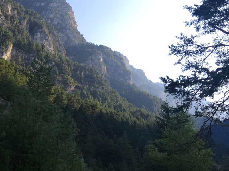


Comme toujours, le grand écart entre les valeurs sur Garmin, RubiTrack et GPX. On va dire 110 km de randonnées.
| RubiTrack | Garmin | Réel | Dénivelé | Cumul Réel | Cumul D+ | |
|---|---|---|---|---|---|---|
| Randonnée n°1 | 19,9 | 20,71 | 21,11 | 1379 | 21,11 | 1379 |
| Randonnée n°2 | 17,3 | 18,57 | 18,93 | 1225 | 40,04 | 2604 |
| Randonnée n°3 | 21,4 | 22,73 | 23,09 | 1420 | 63,13 | 4024 |
| Randonnée n°4 | 18,32 | 18,89 | 19,08 | 978 | 82,21 | 5002 |
| Randonnée n°5 | 9,14 | 9,43 | 9,54 | 505 | 91,75 | 5507 |
| Randonnée n°6 | 10,79 | 11,08 | 11,44 | 1071 | 103,19 | 6578 |
| Randonnée n°7 | 12,28 | 14,18 | 14,63 | 1185 | 117,82 | 7763 |
| TOTAL | 109,13 | 115,59 | 117,82 |
Il y avait encore du potentiel pour des randonnées :
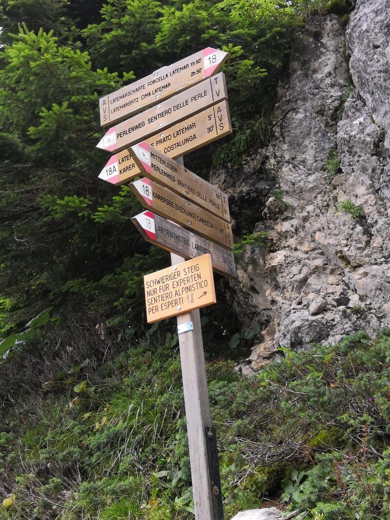
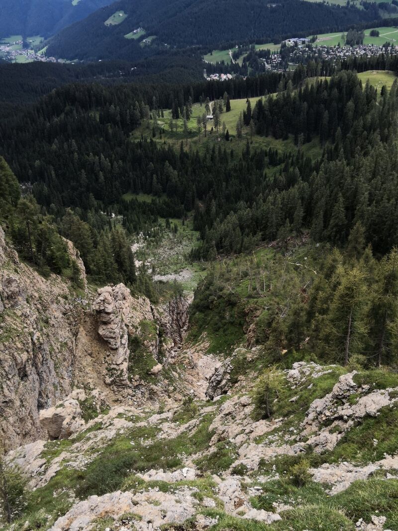
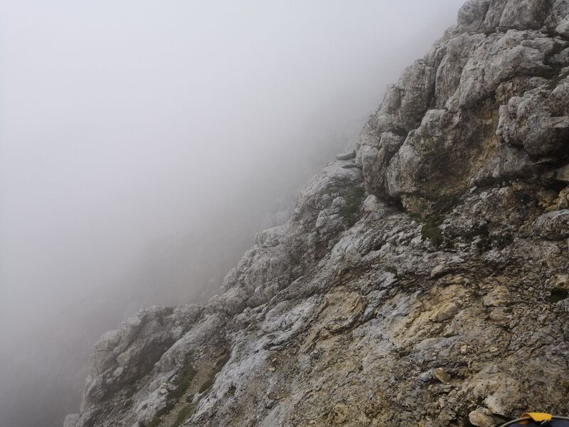
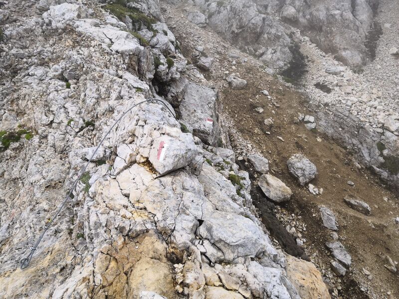
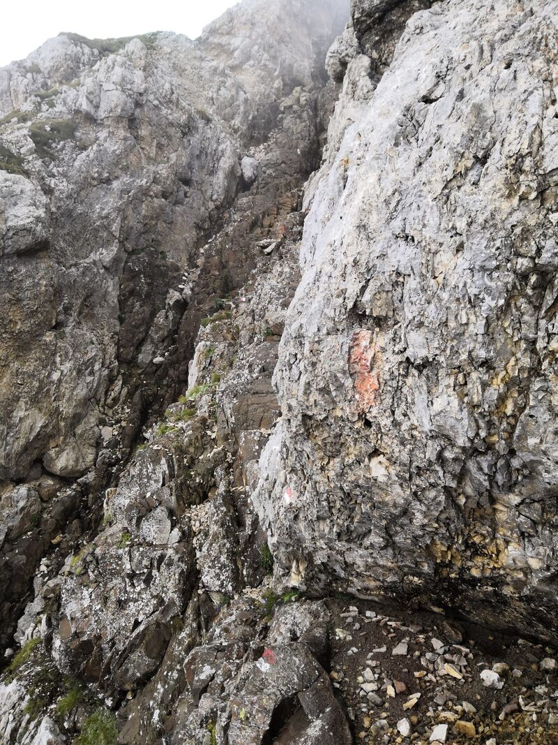
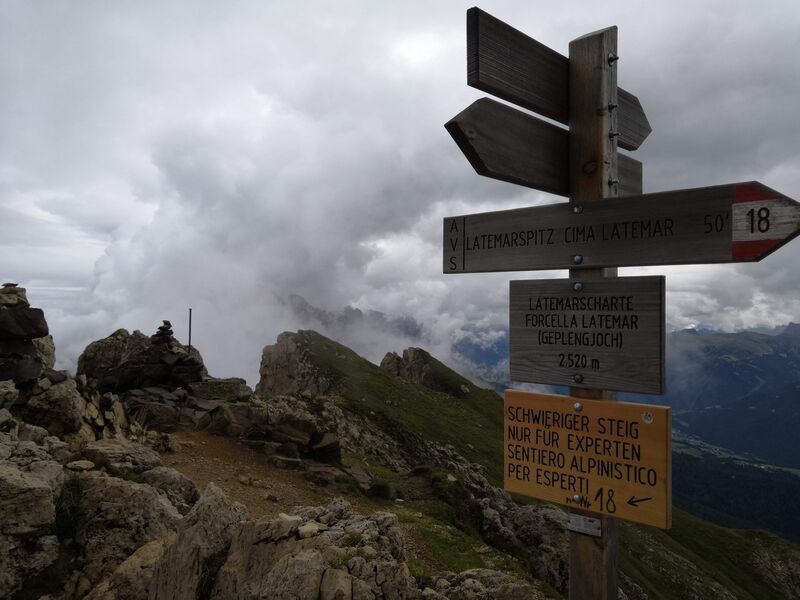
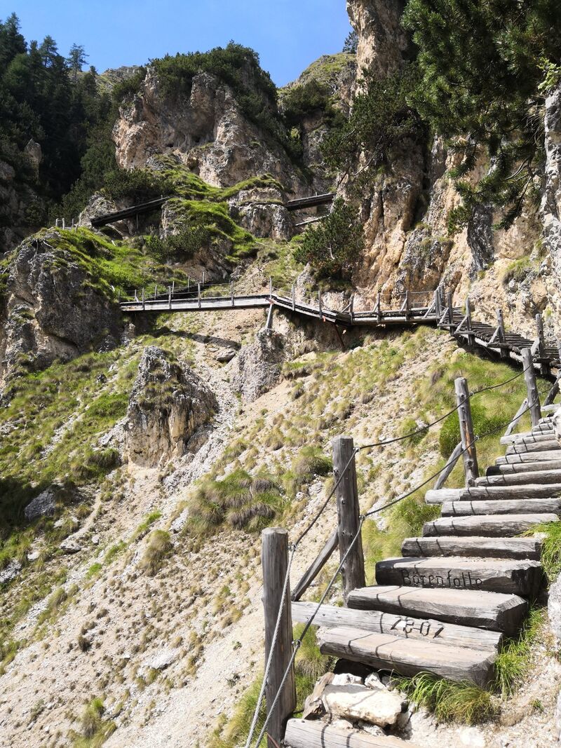
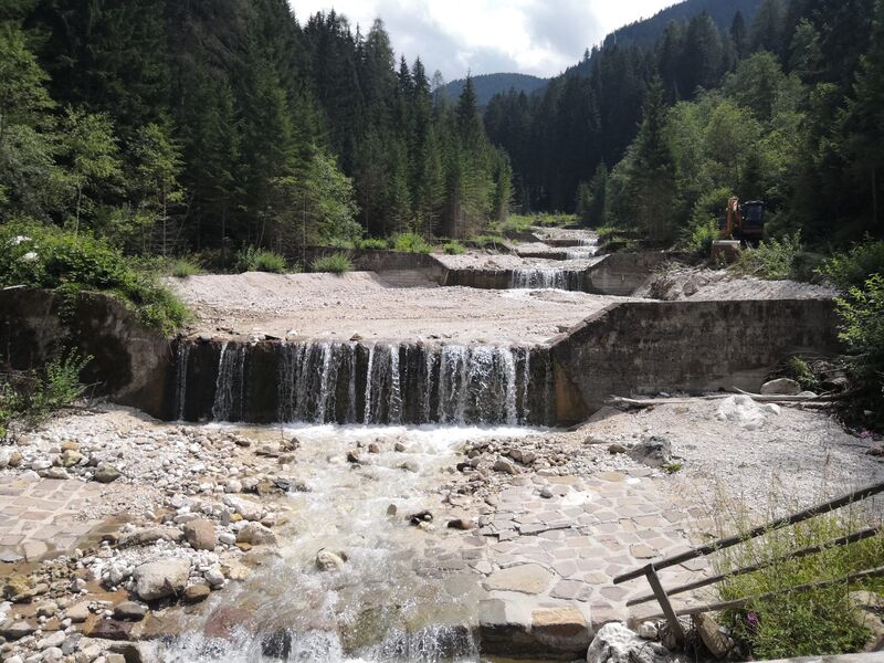
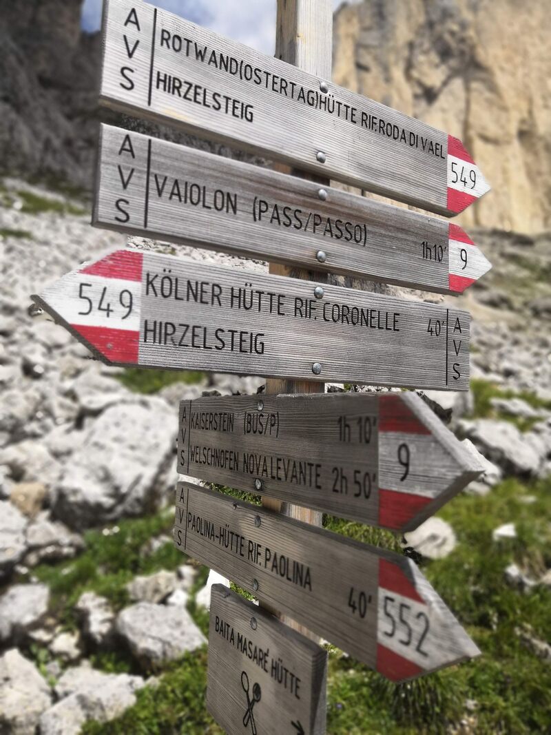
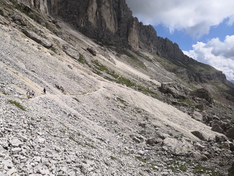
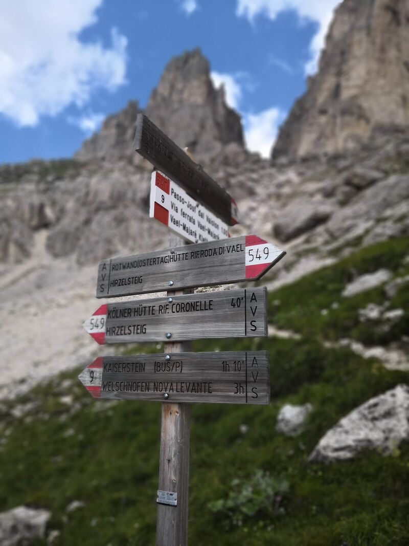
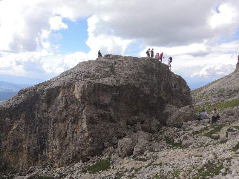
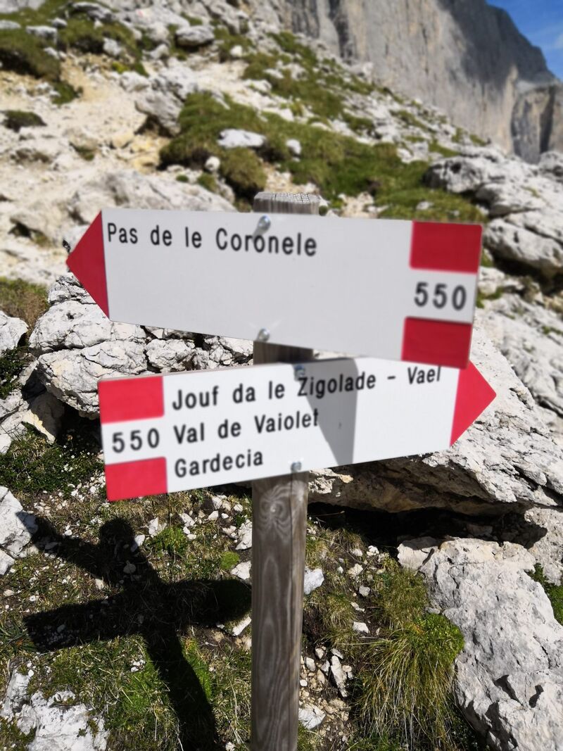
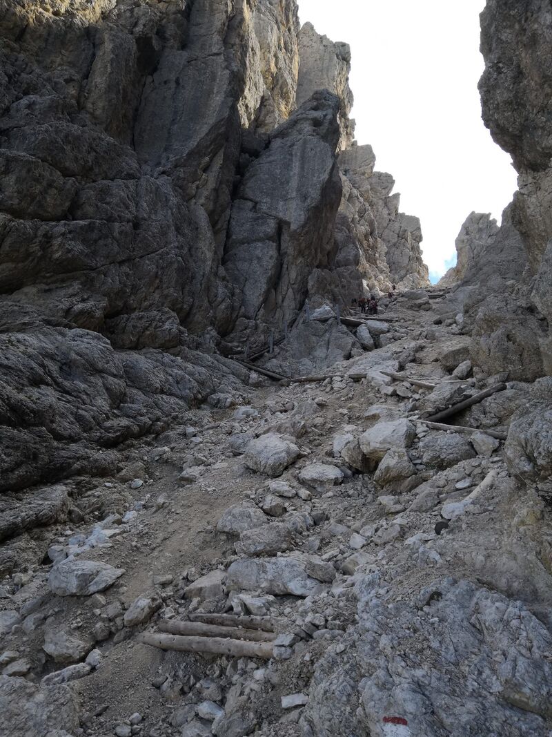
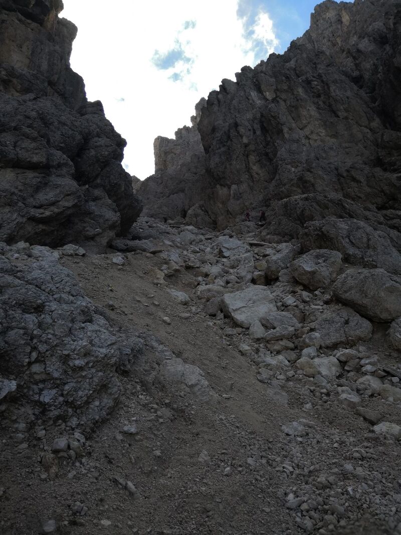
Je déconseille vivement cette randonnée qui est très mal sécurisé…
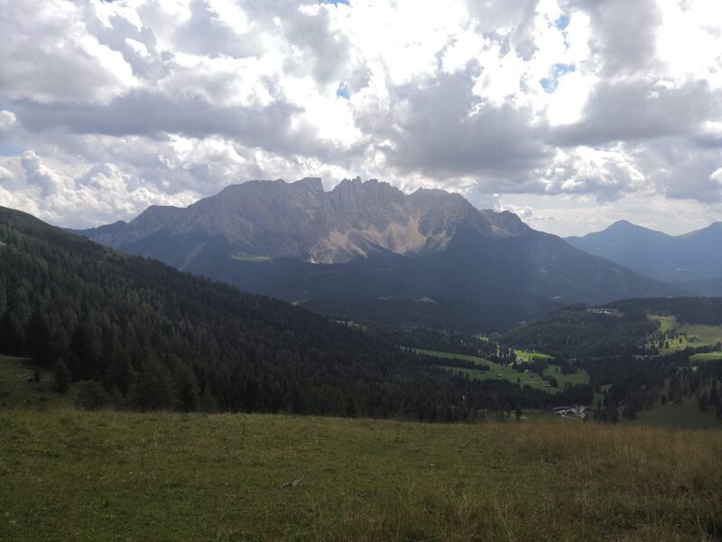
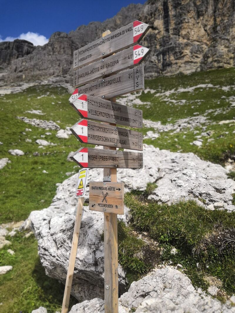
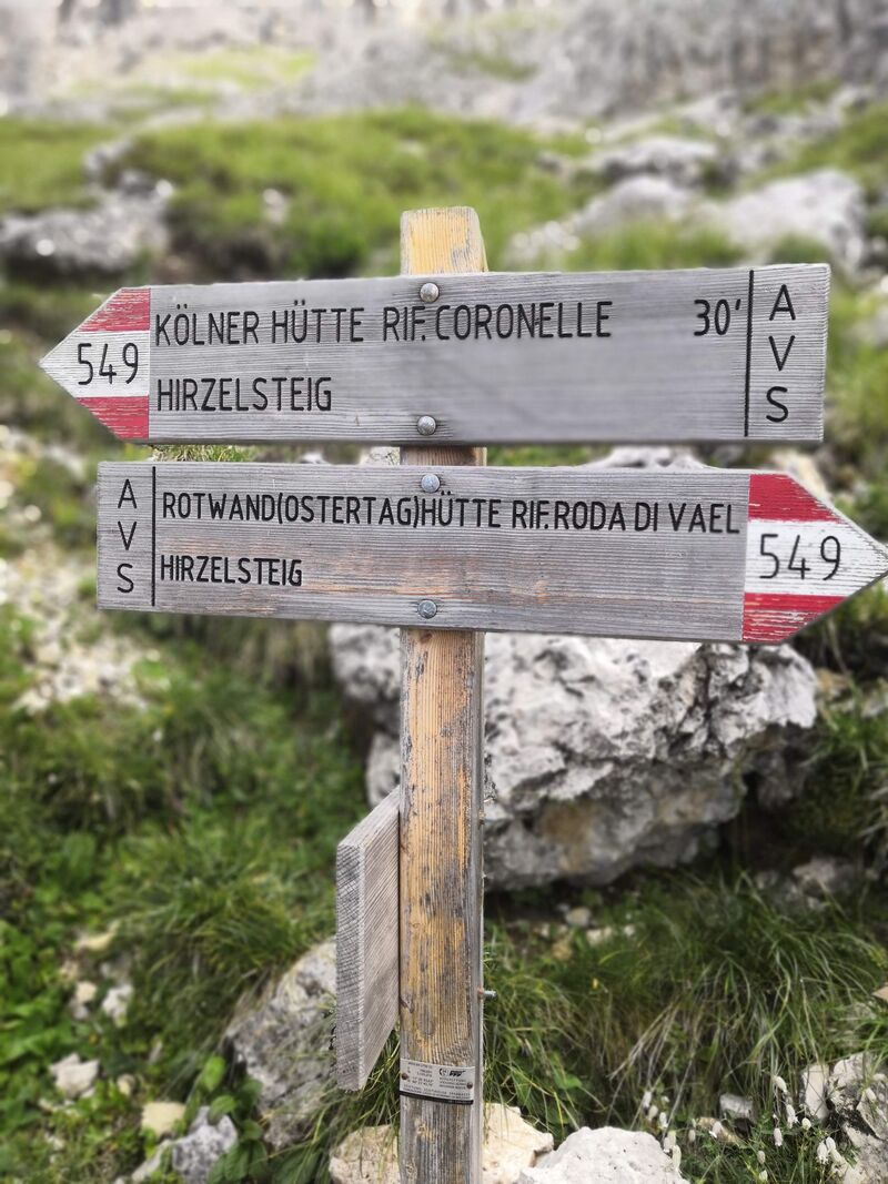
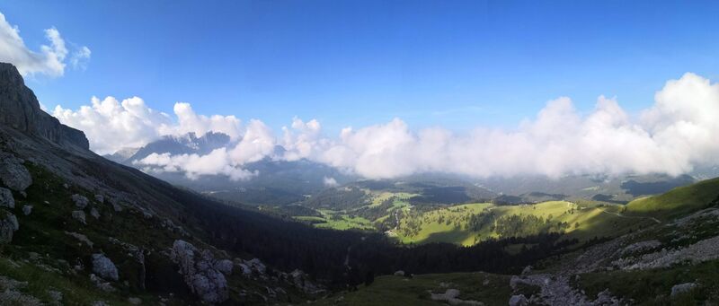
En bref :

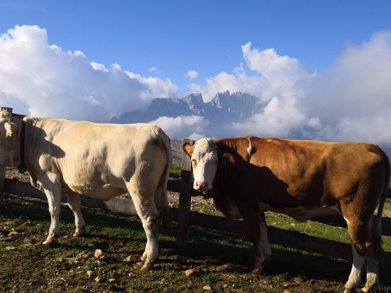
En bref :
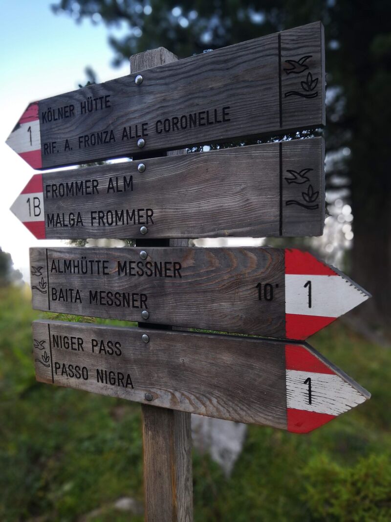
En bref :
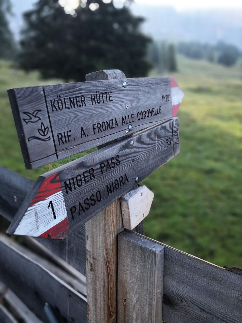
En bref :


En bref :
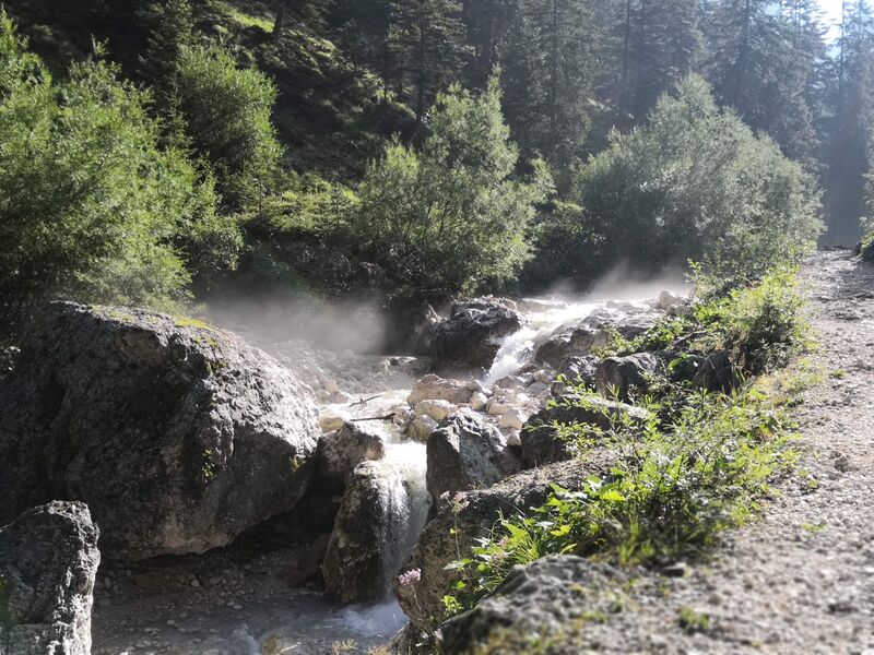
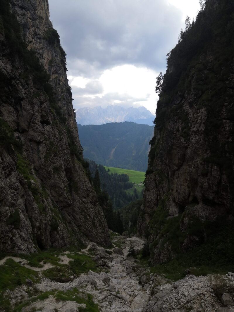
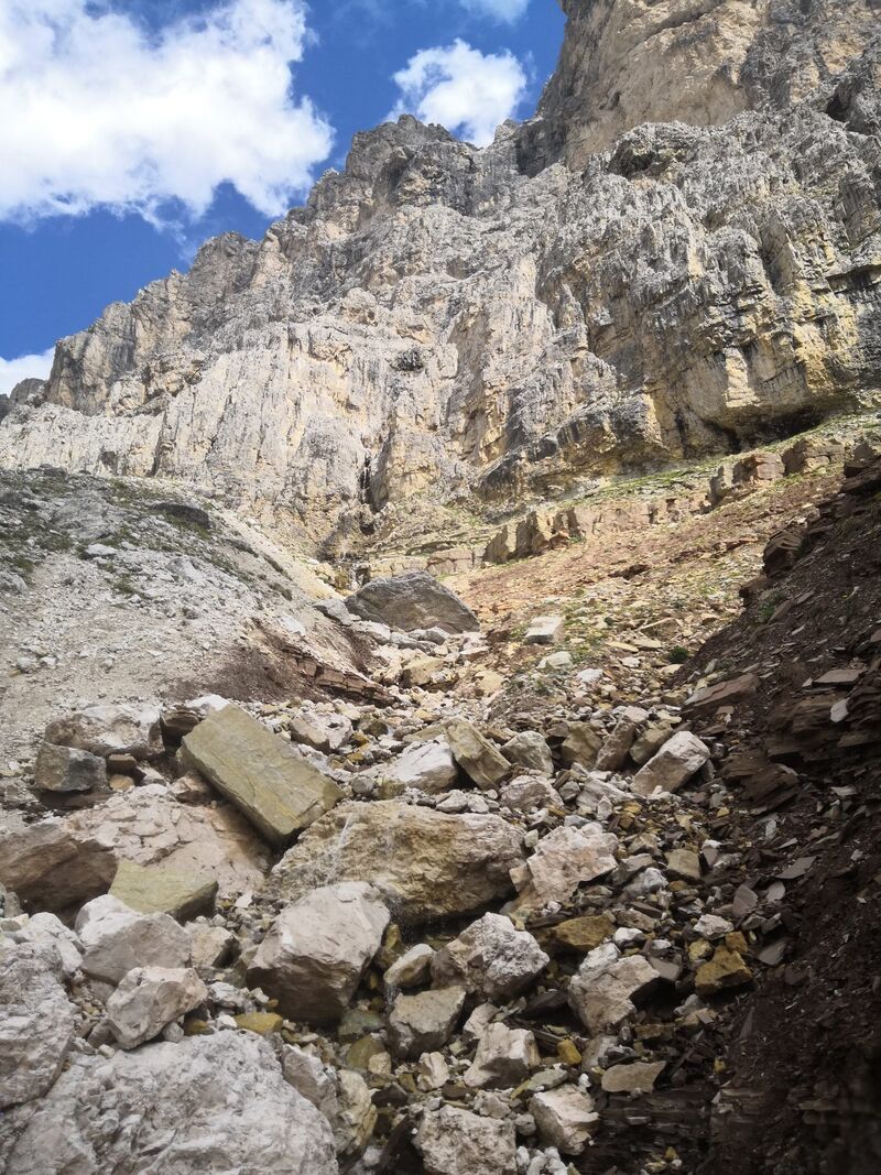
Attention il y a une erreur à cause du passage dans le canyon :
( En cours de création )
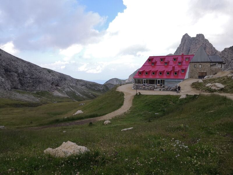
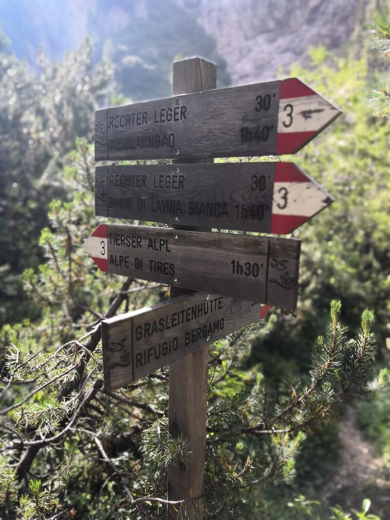
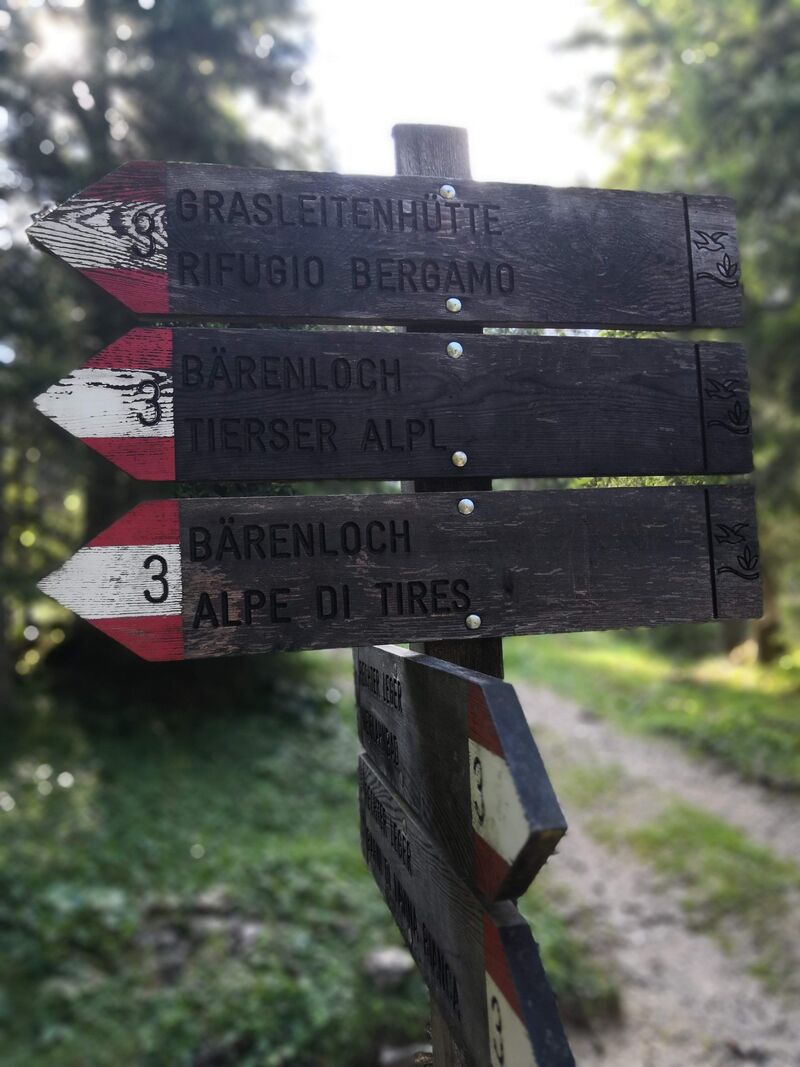
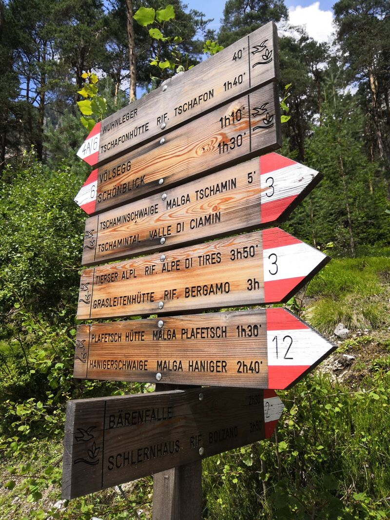
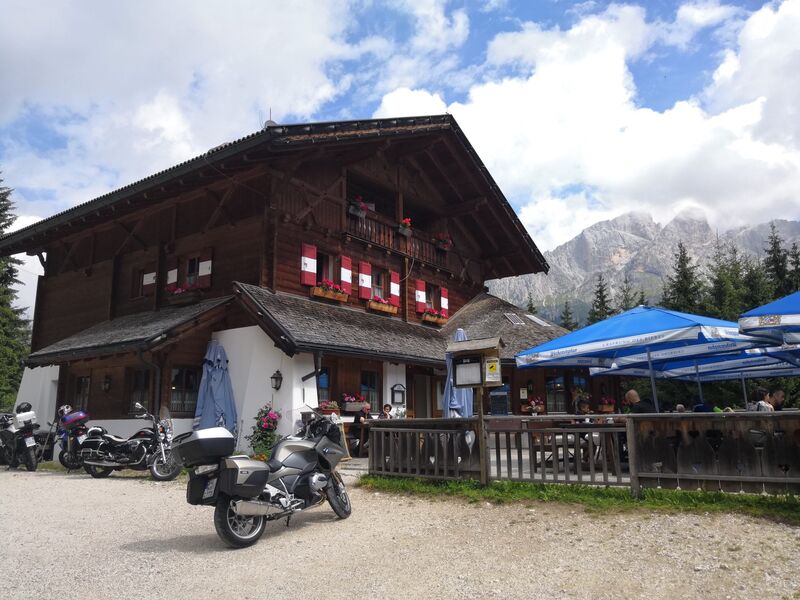
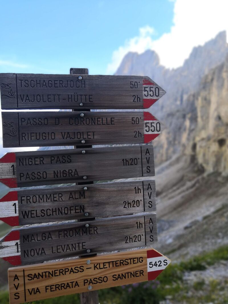
Pour plus d’information sur le refuge : https://www.tierseralpl.com/en.html .
En bref :
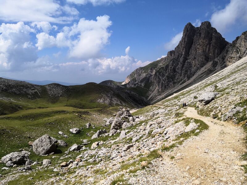
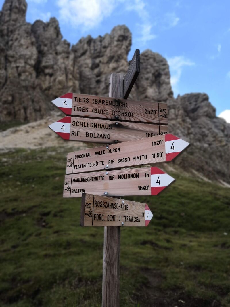
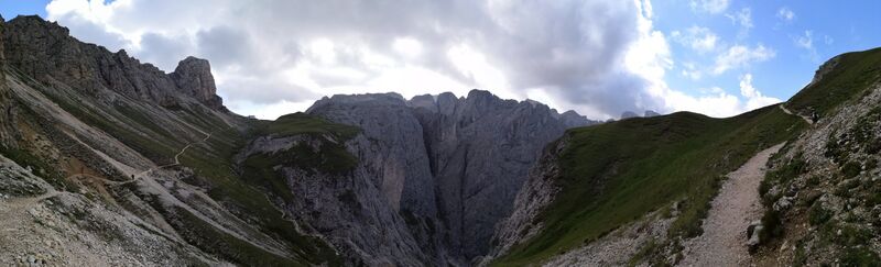
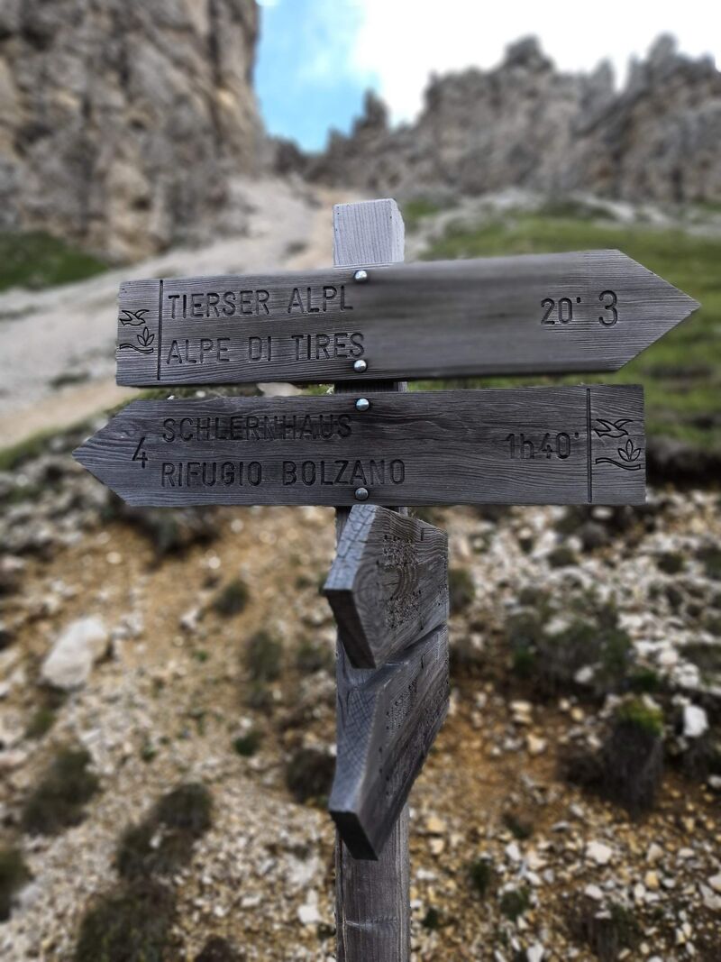
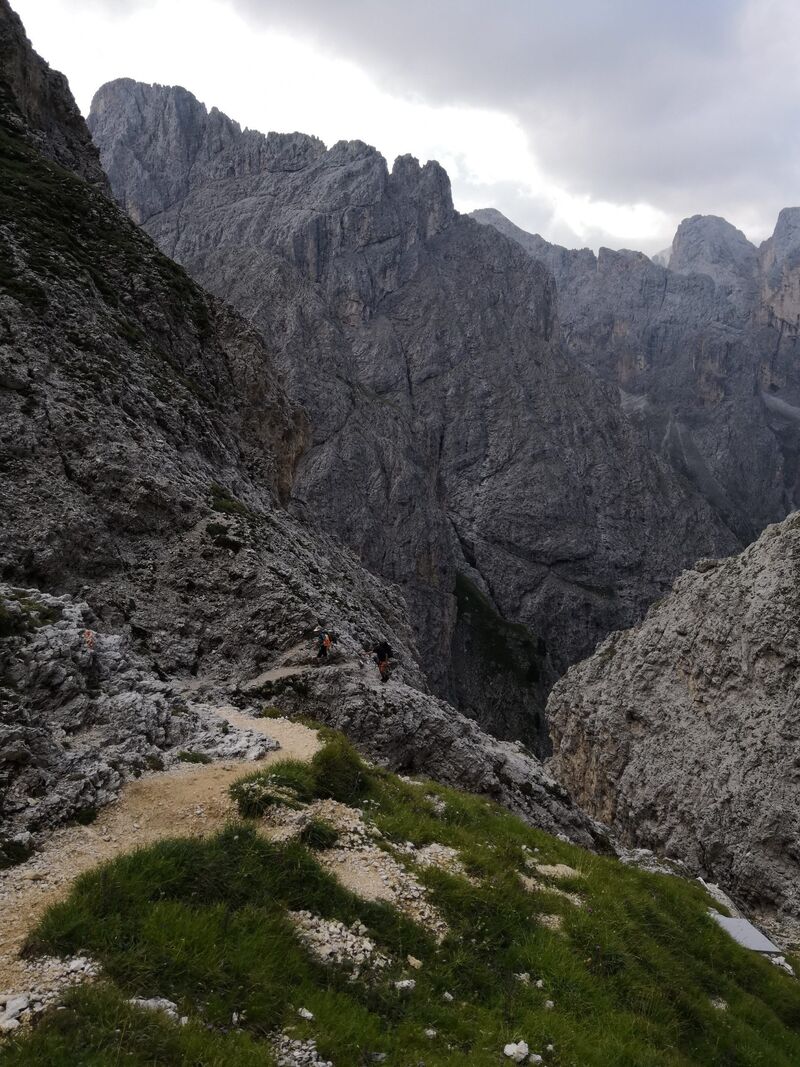
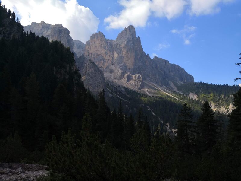
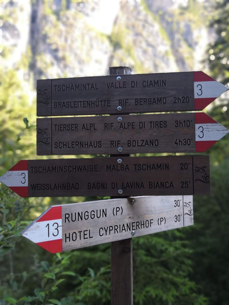
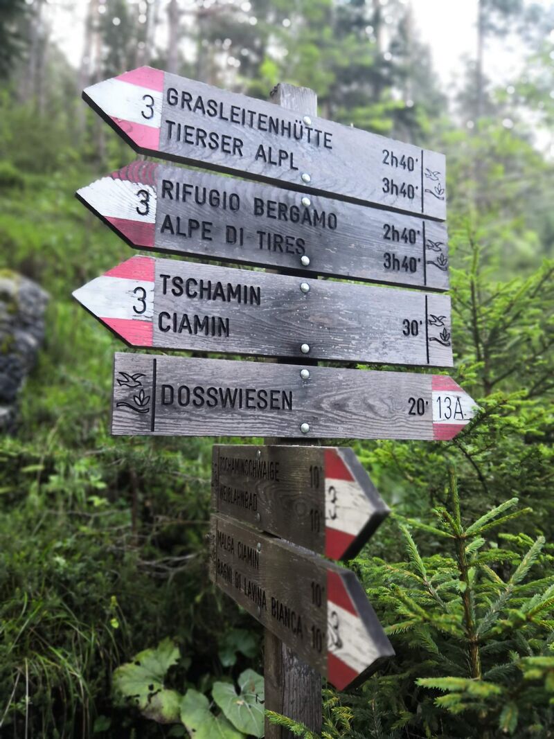
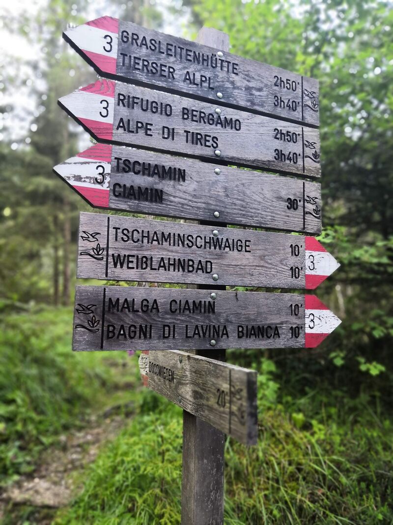
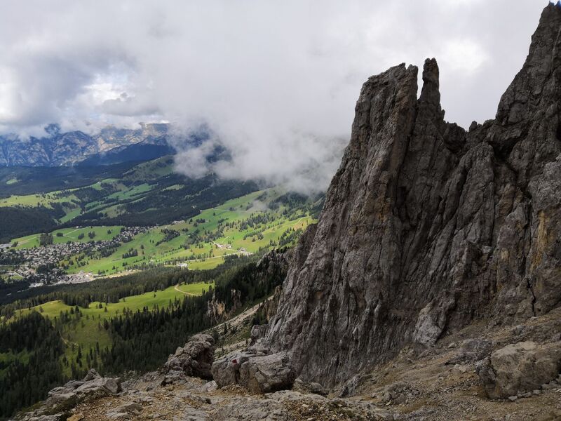
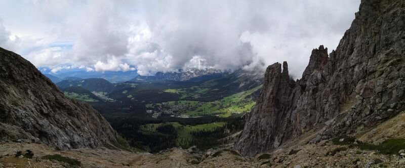
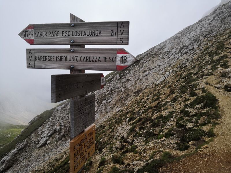
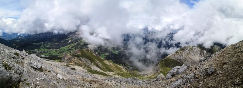
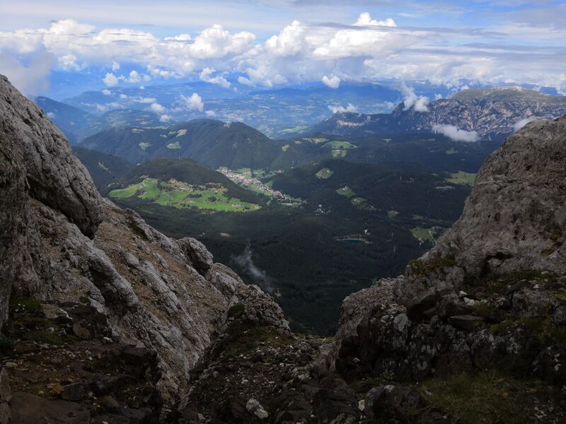
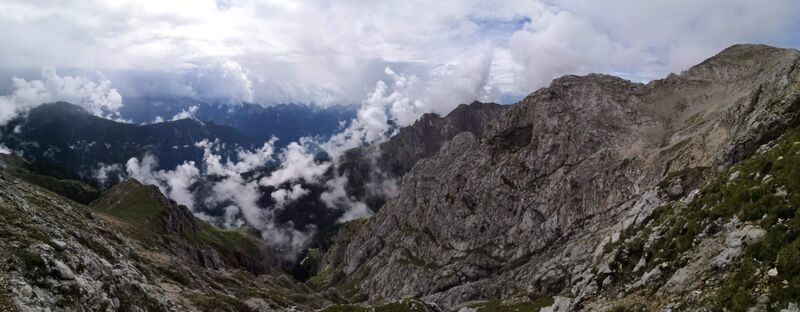
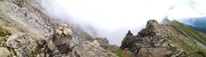
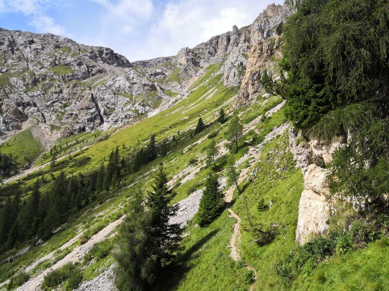
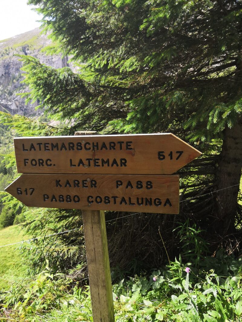
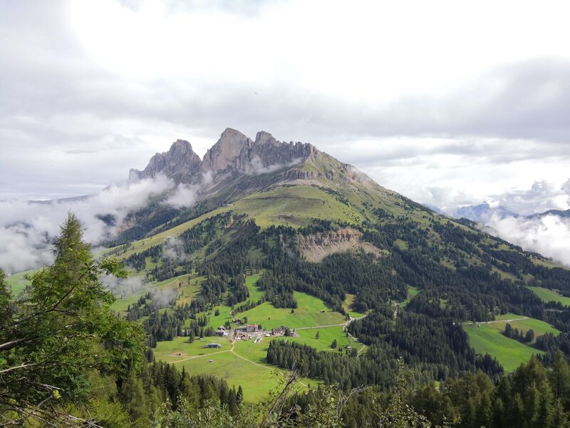
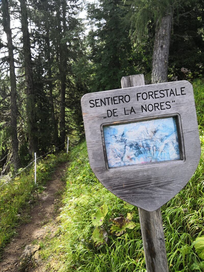
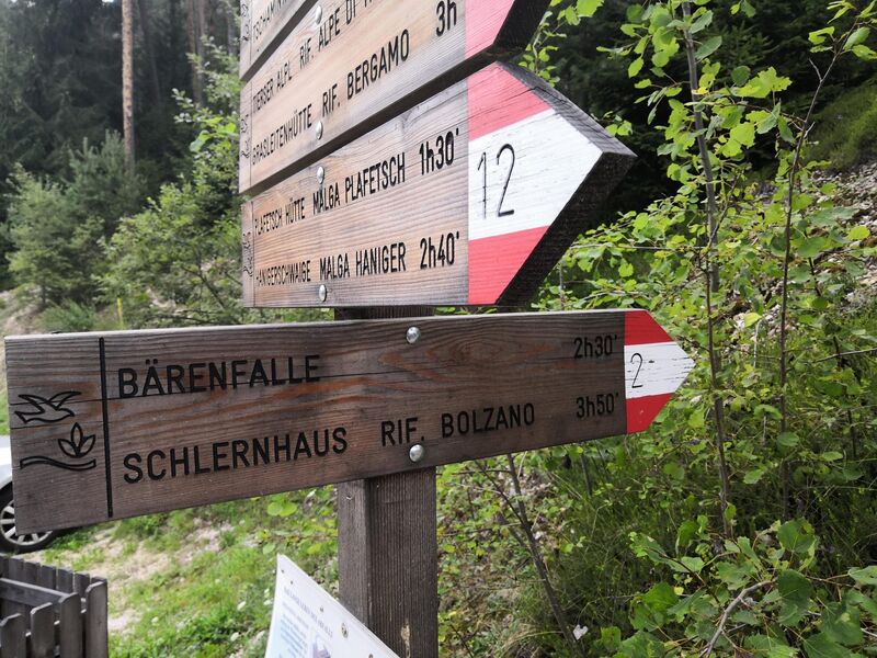
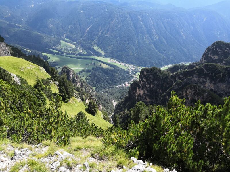
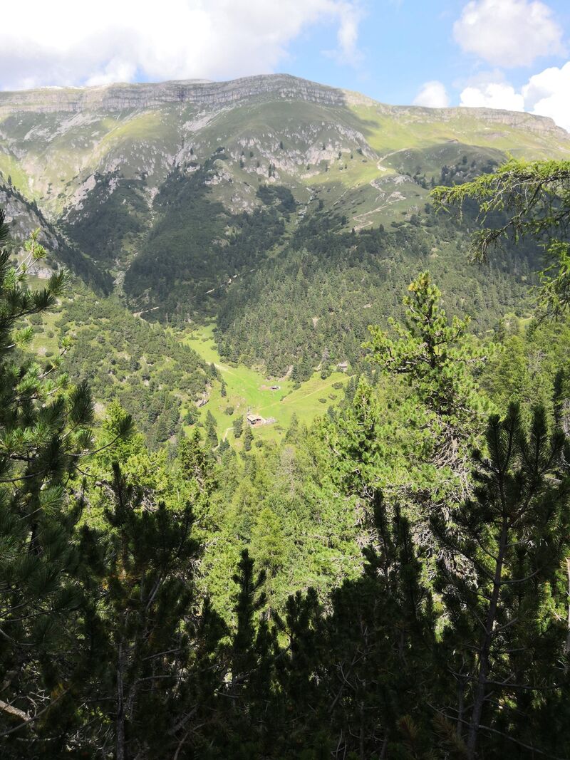
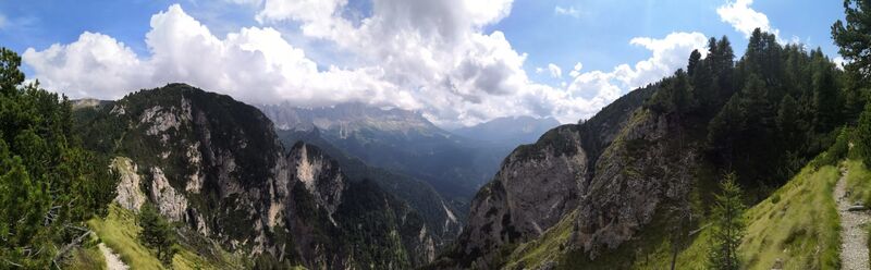
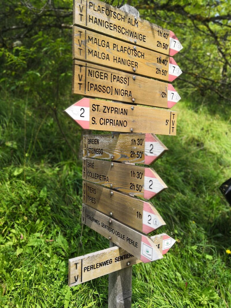
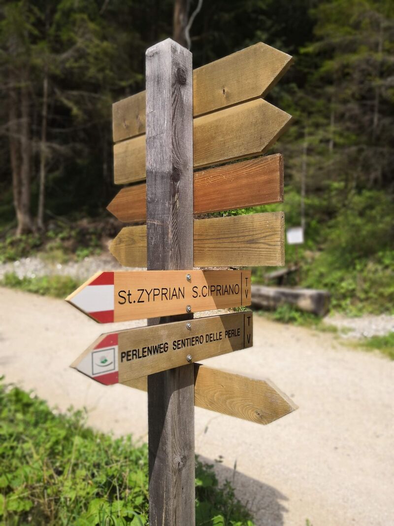
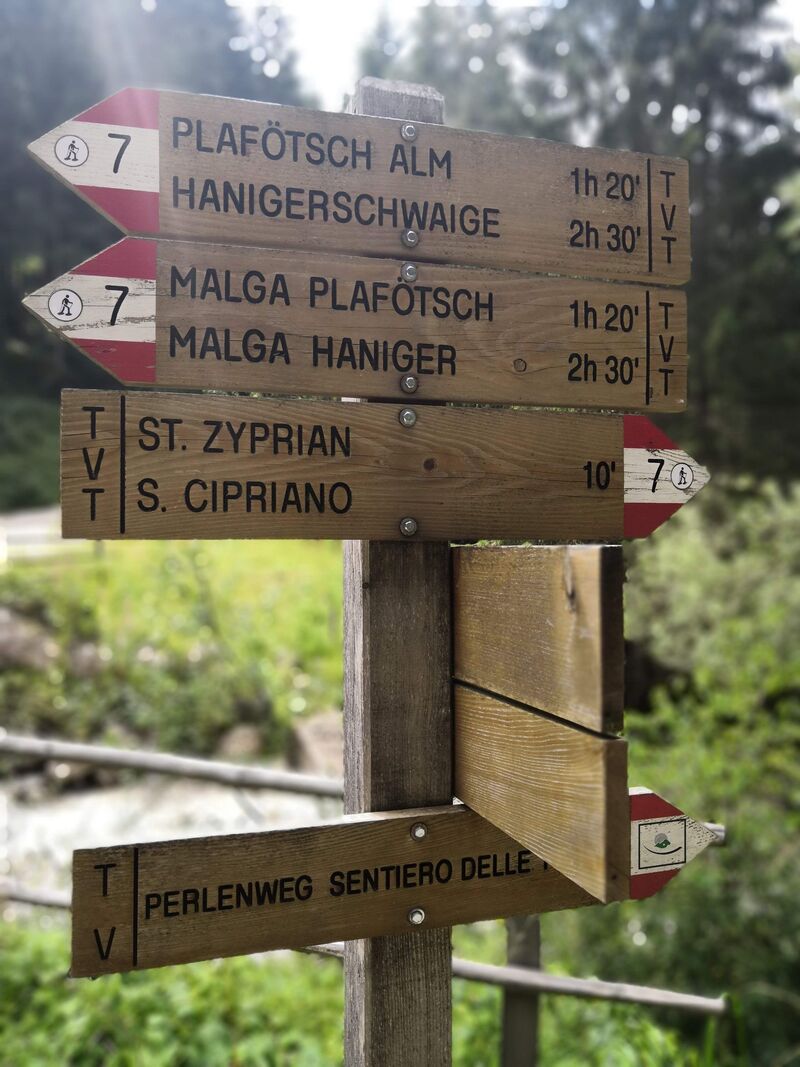
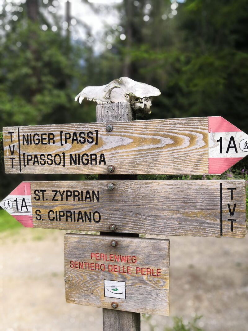
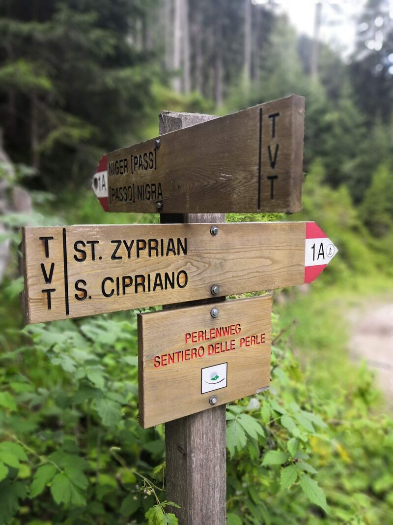
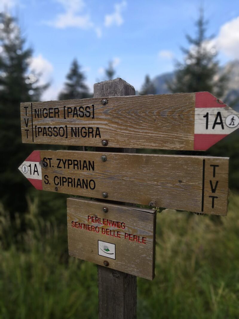
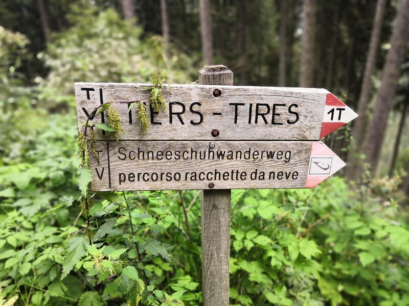
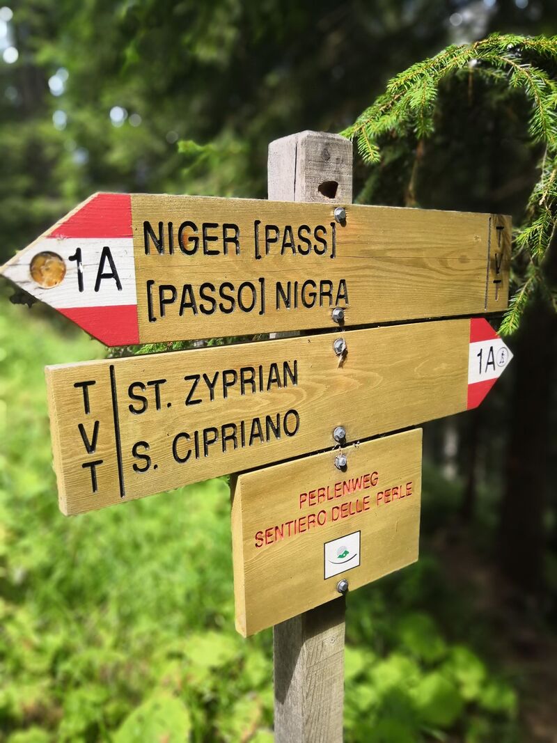
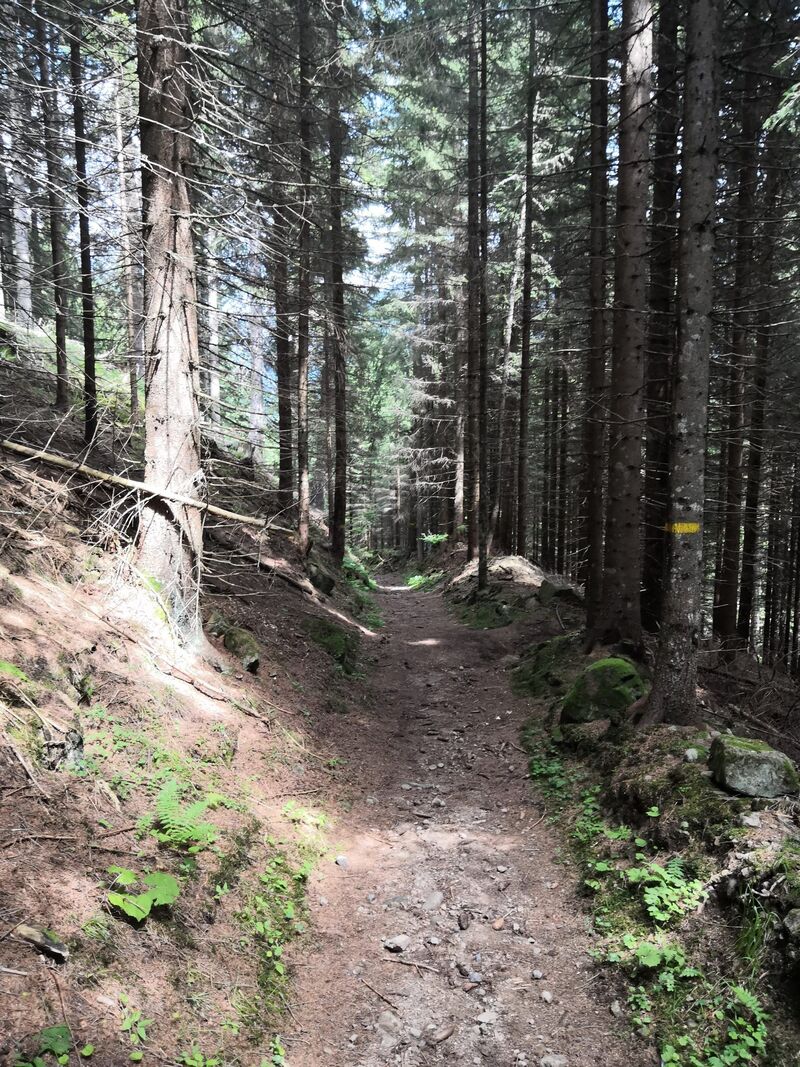
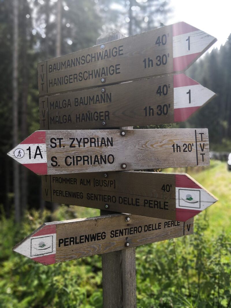
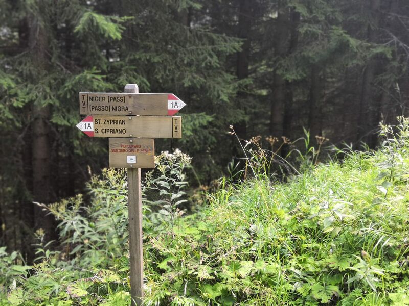
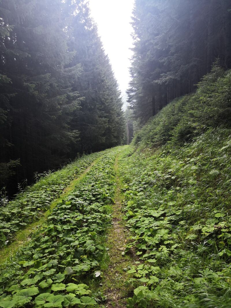
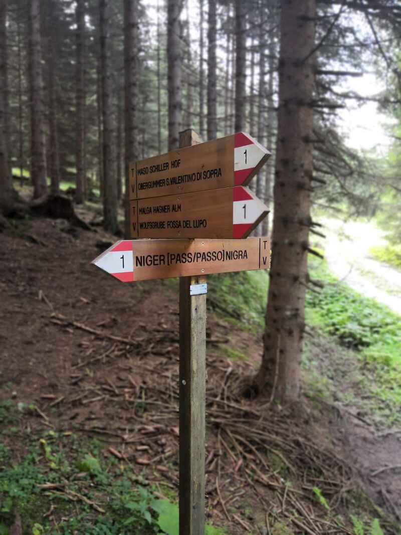
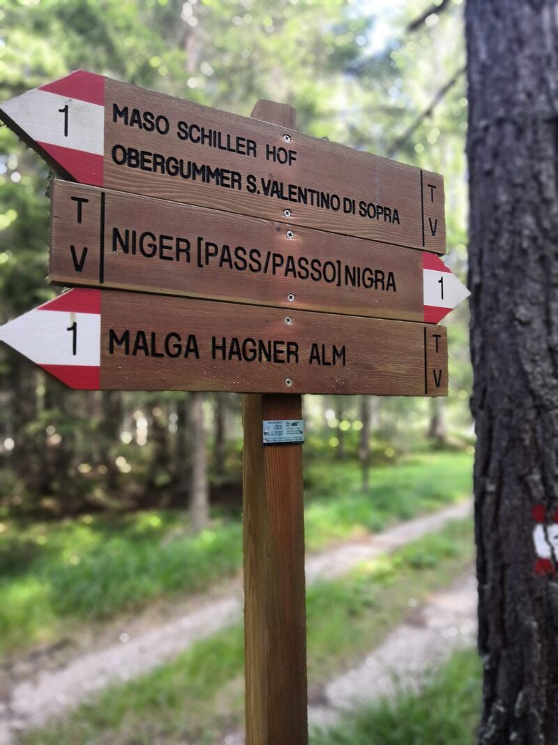
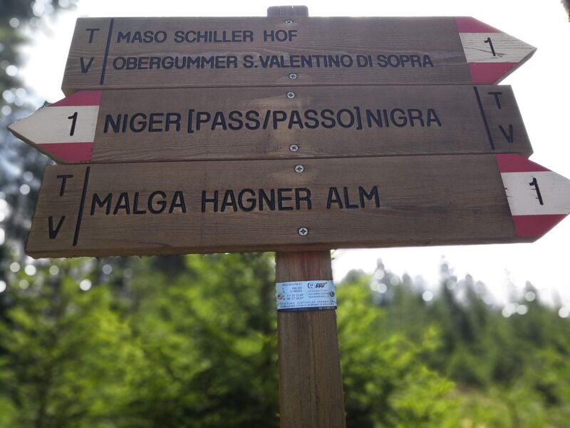
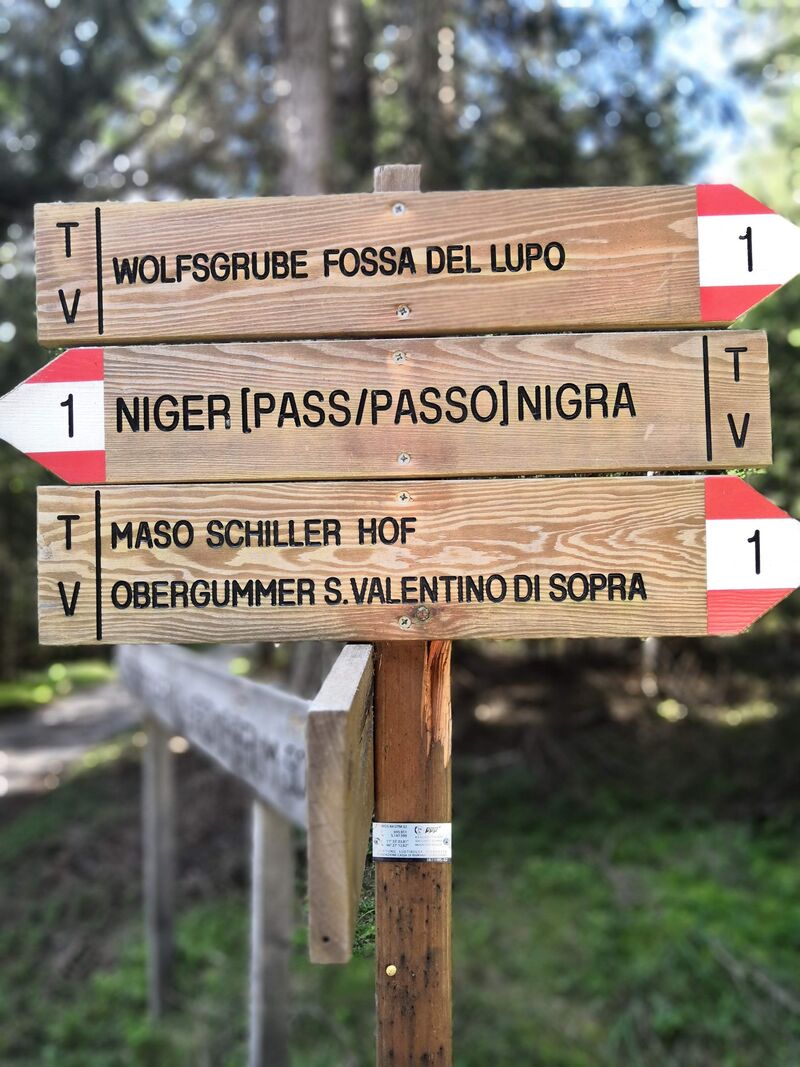
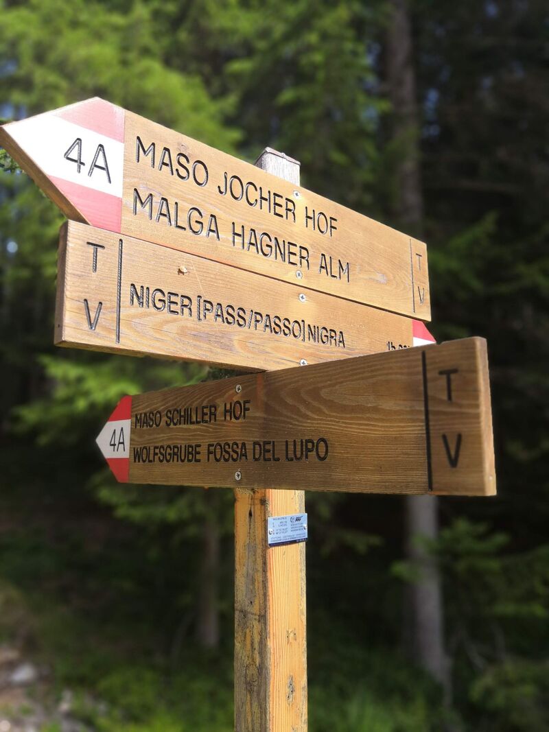
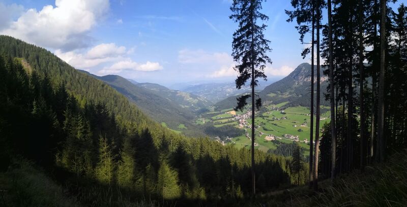
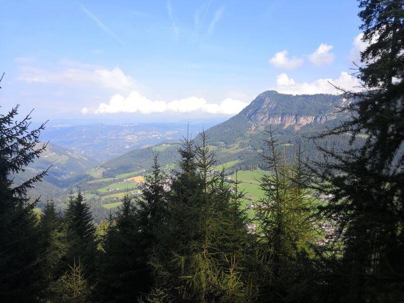
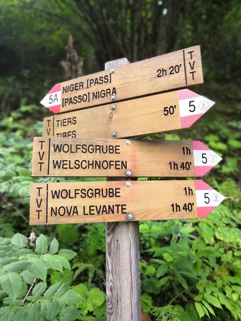
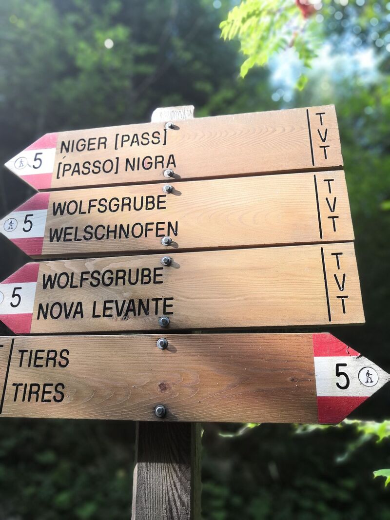
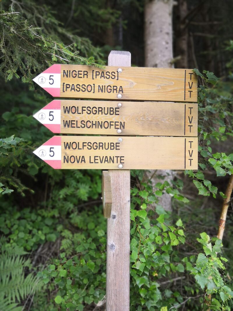
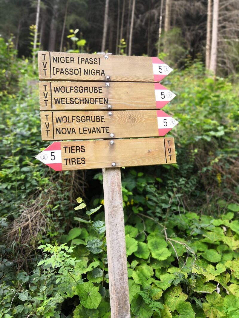
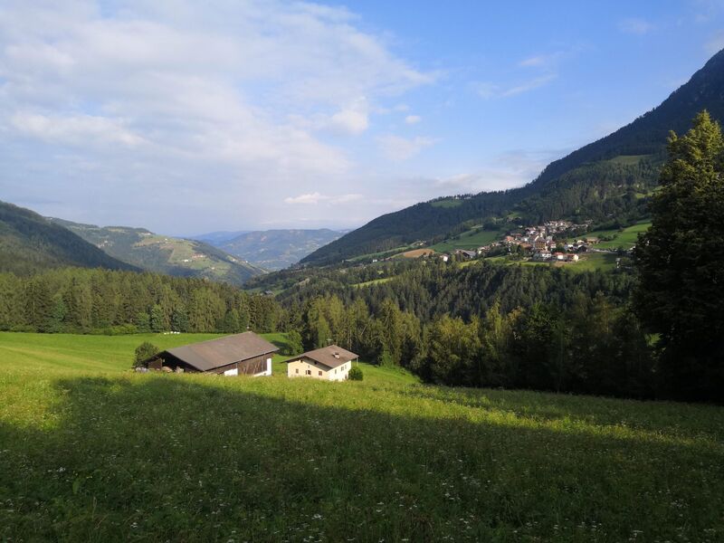
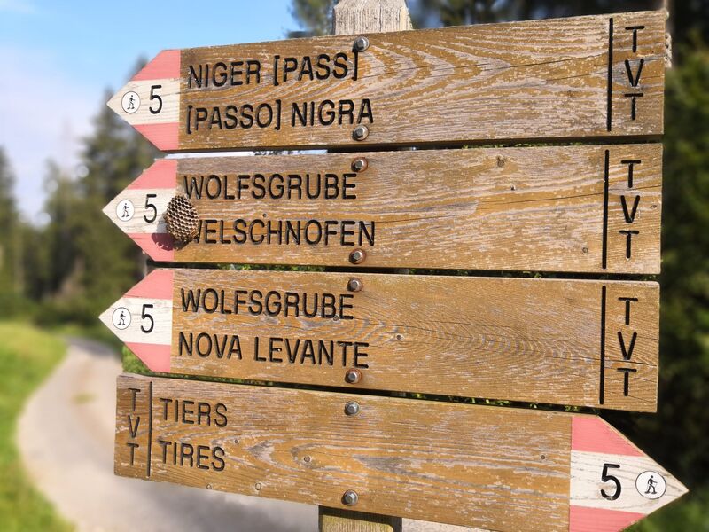
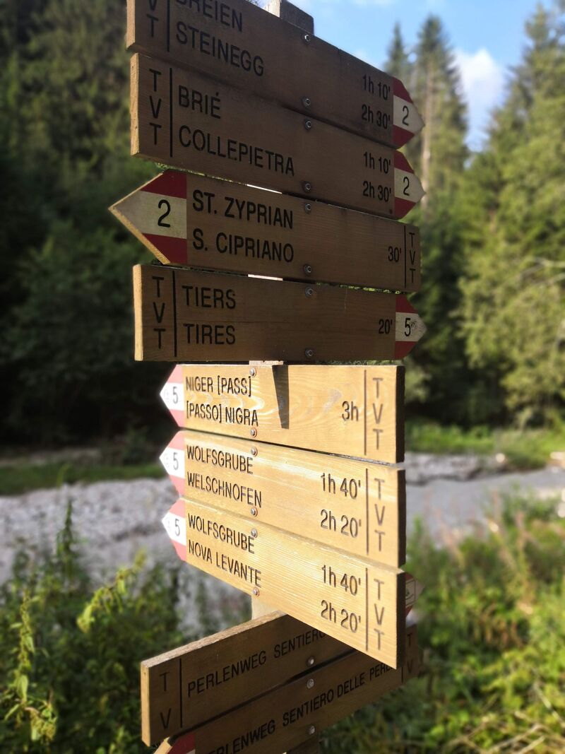
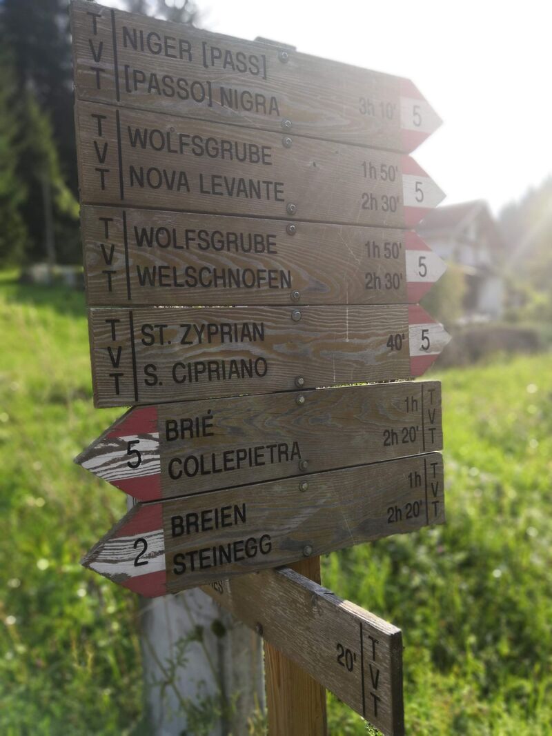
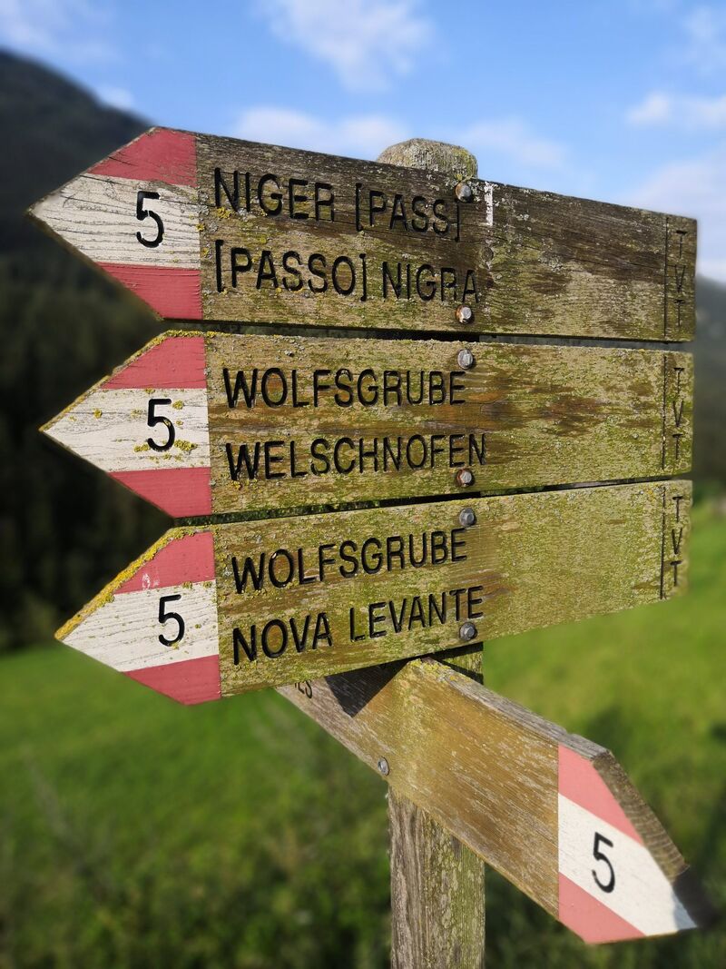
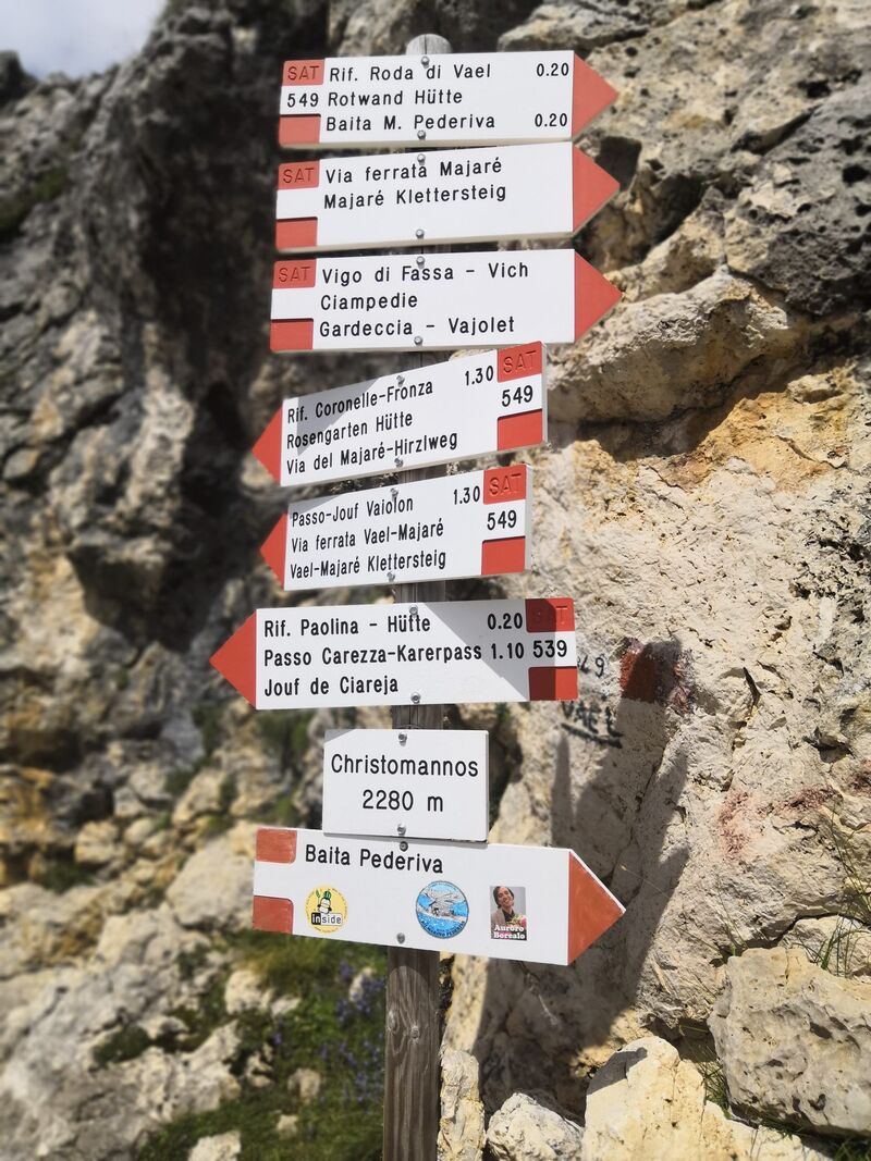
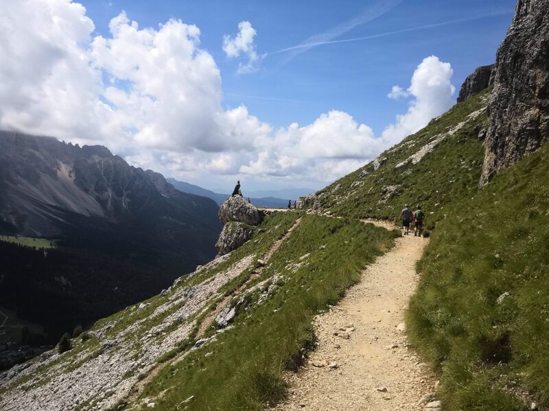
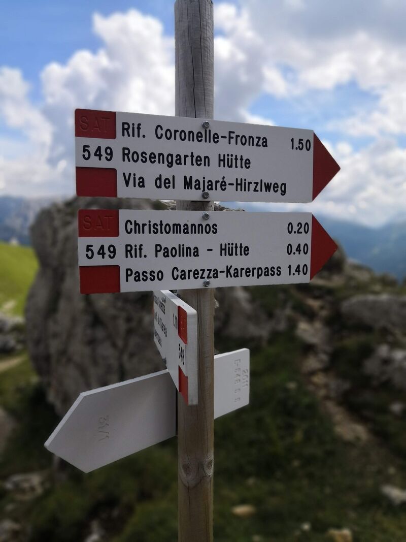
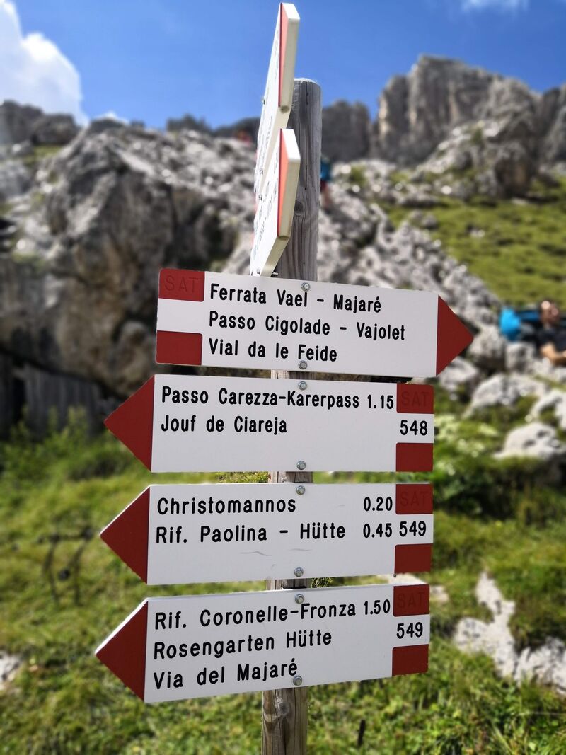
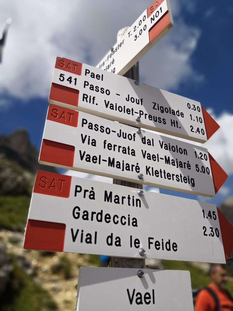
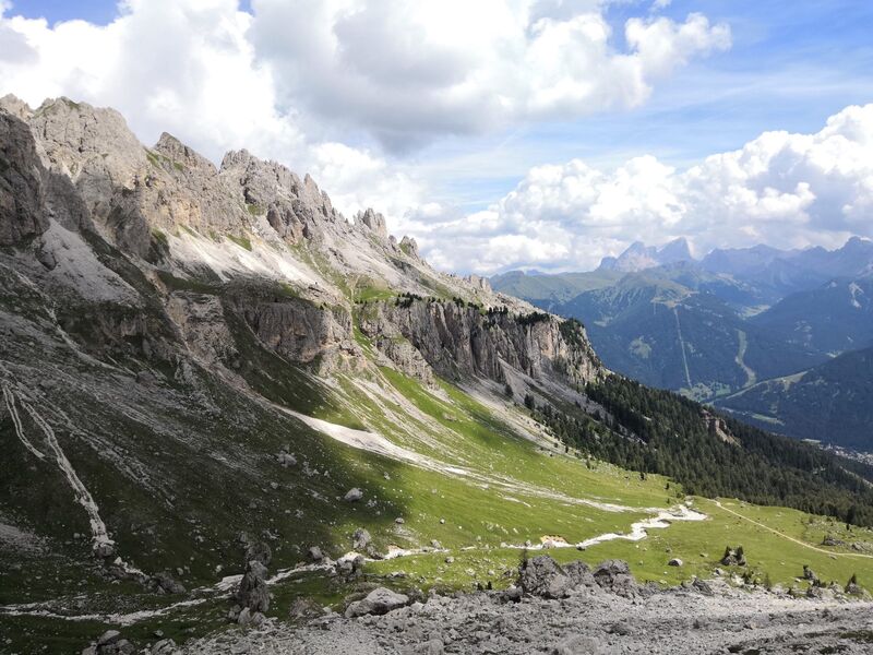
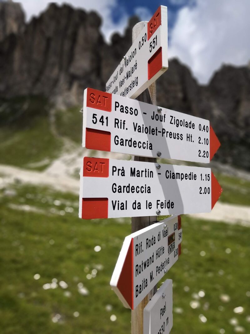
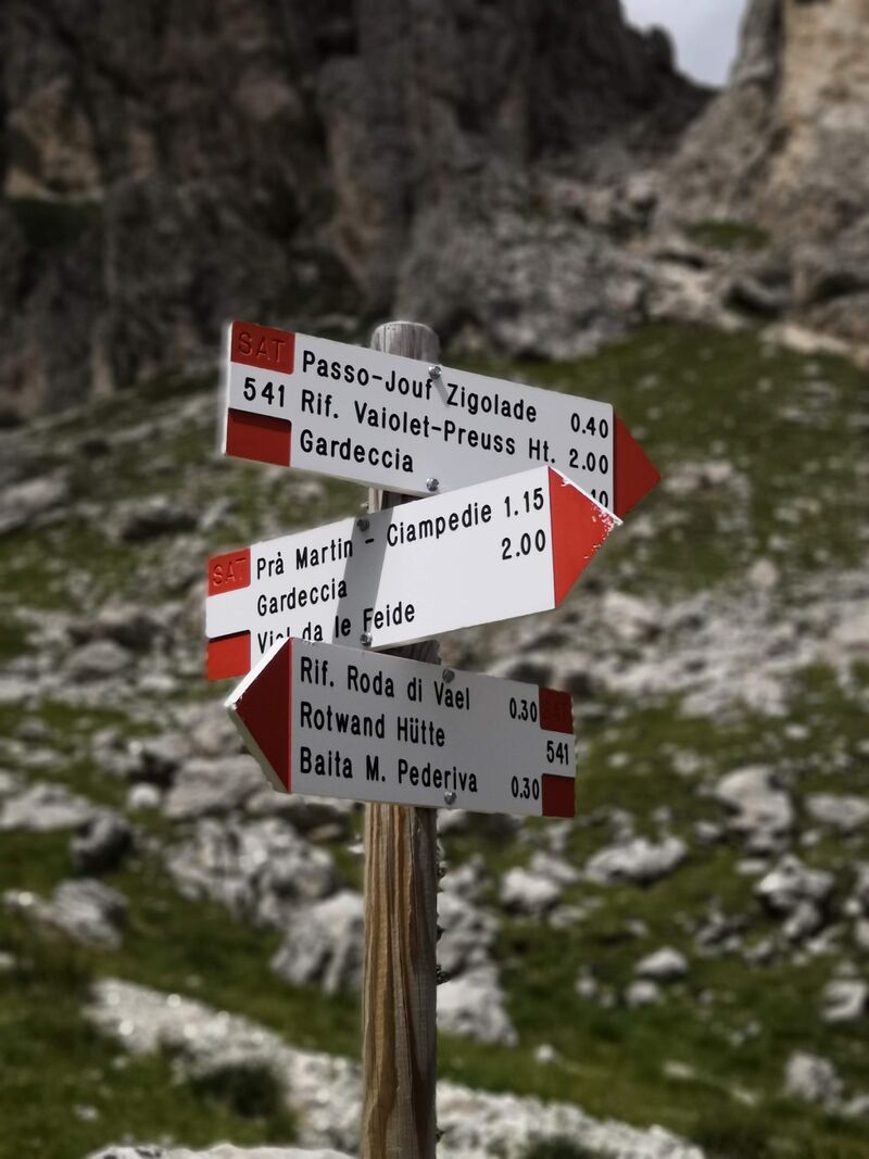
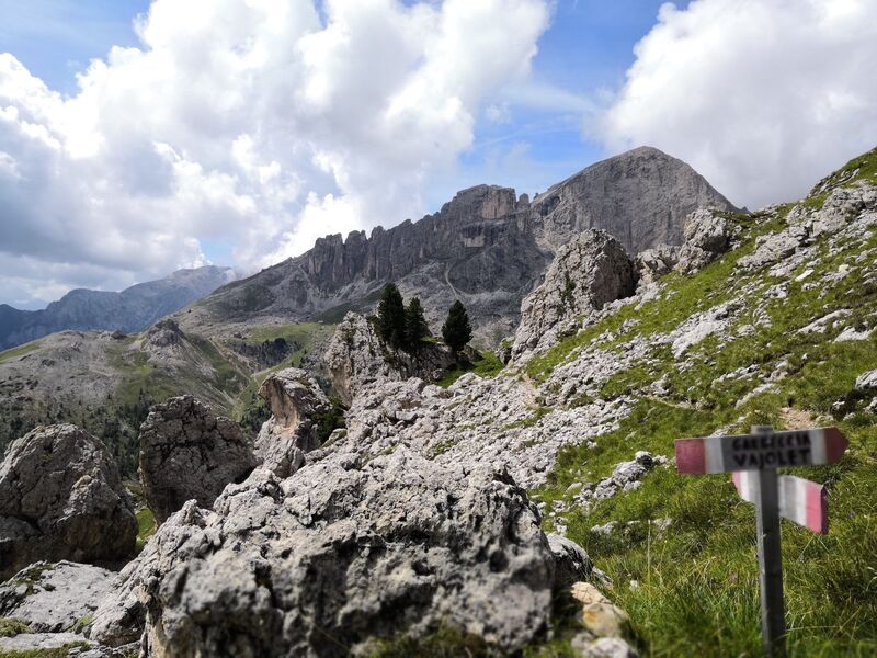
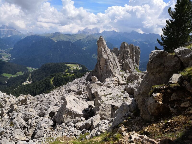
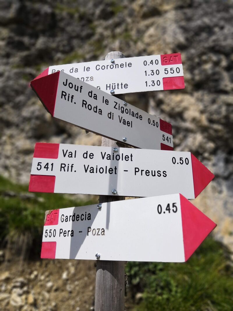
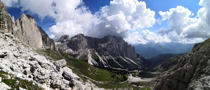
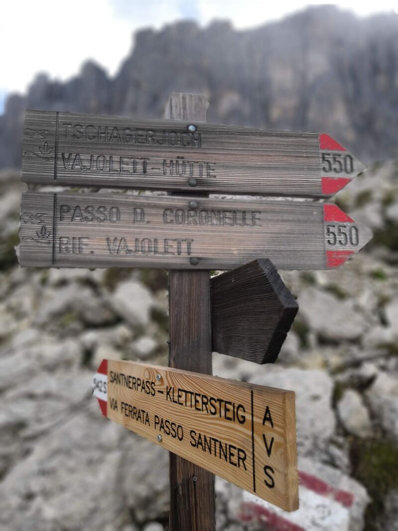
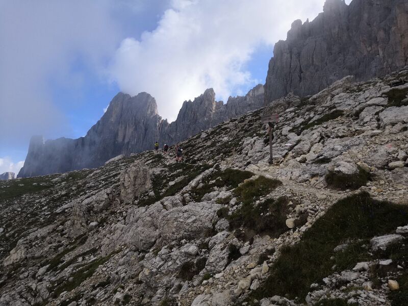
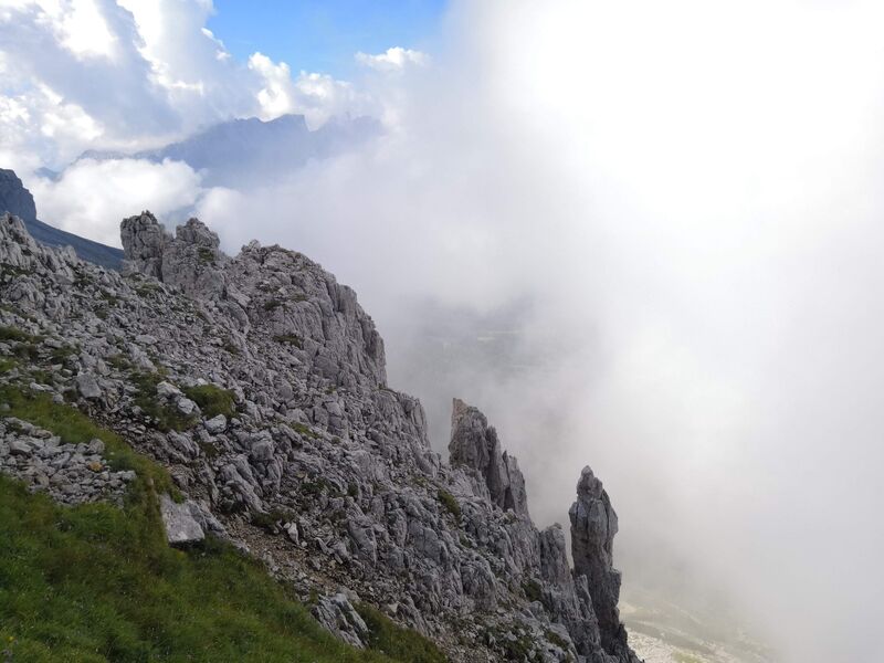
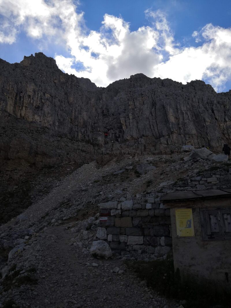
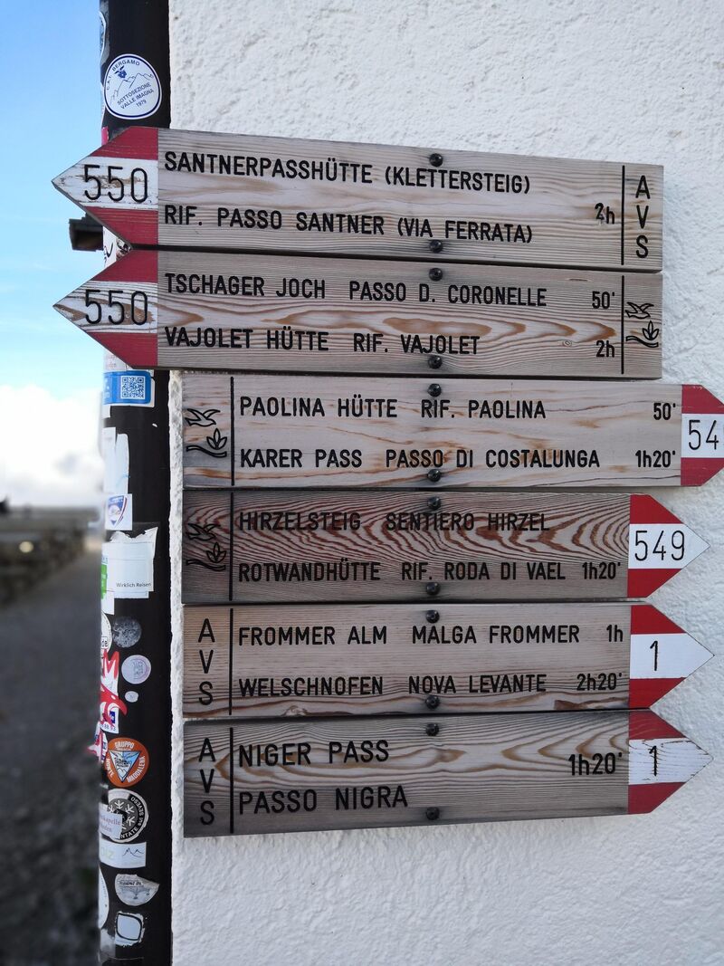
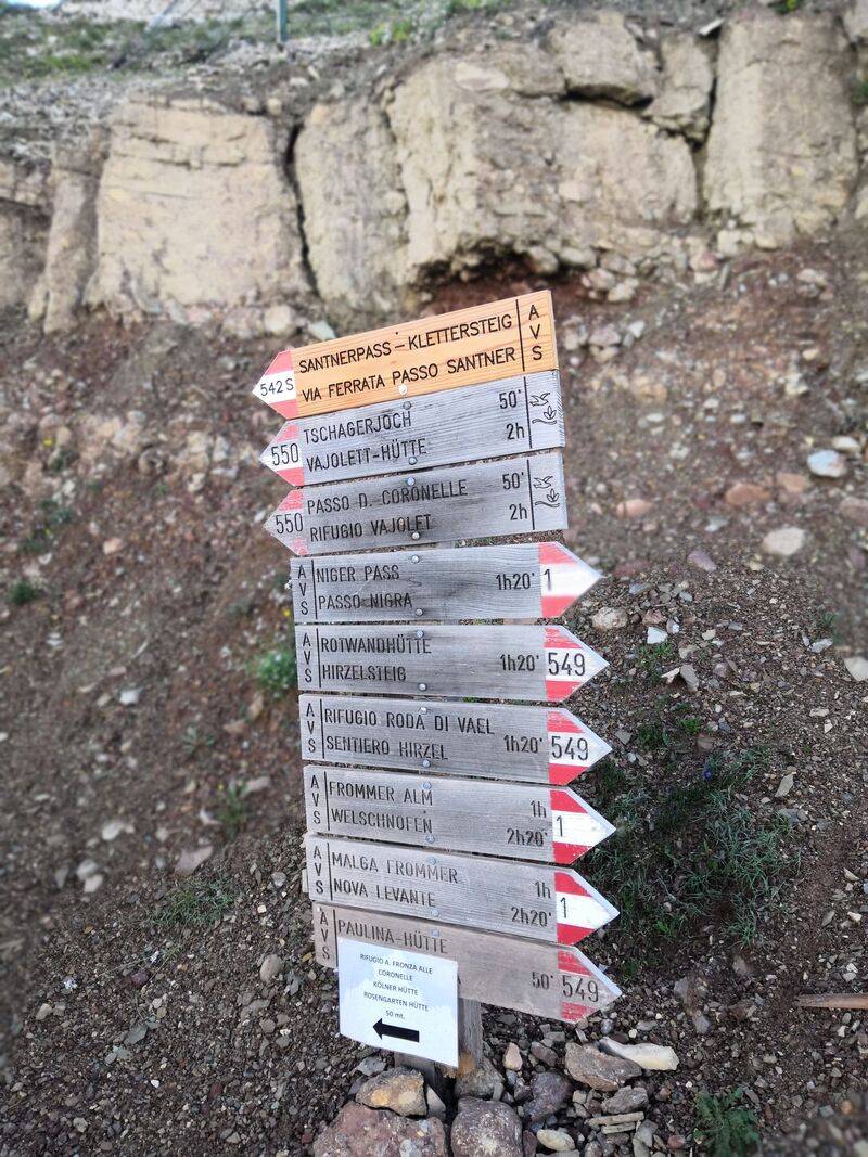
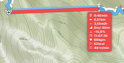
Le parcours :