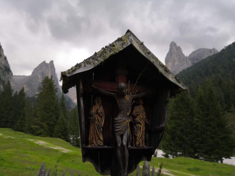


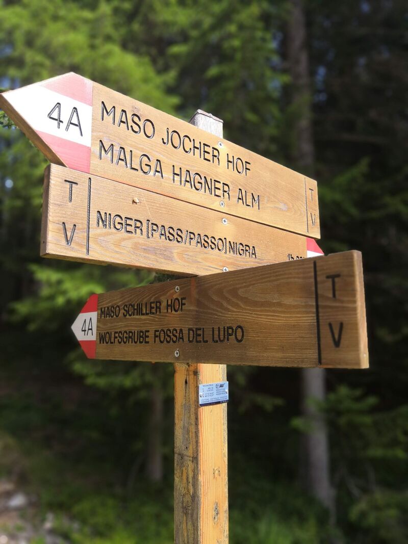
En bref :
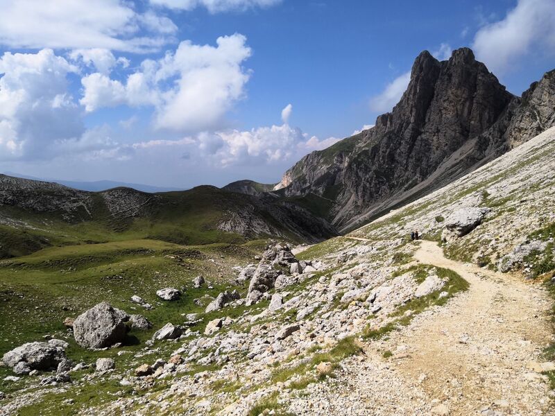
En bref :

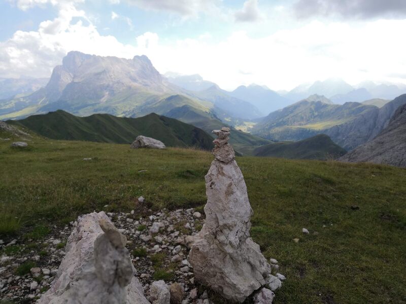
En bref :
En bref :


En bref :
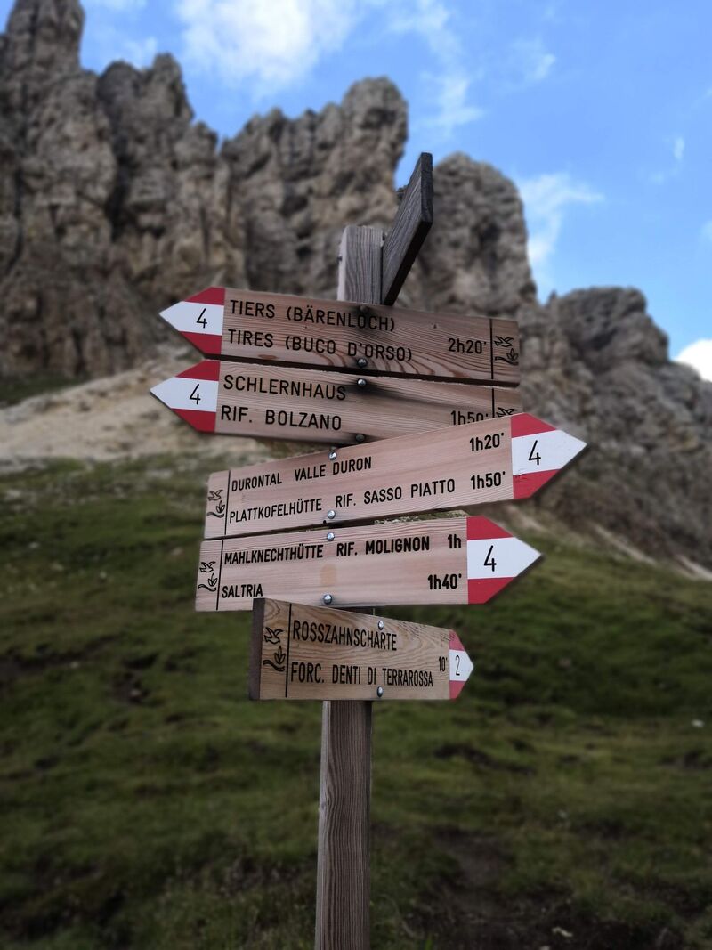
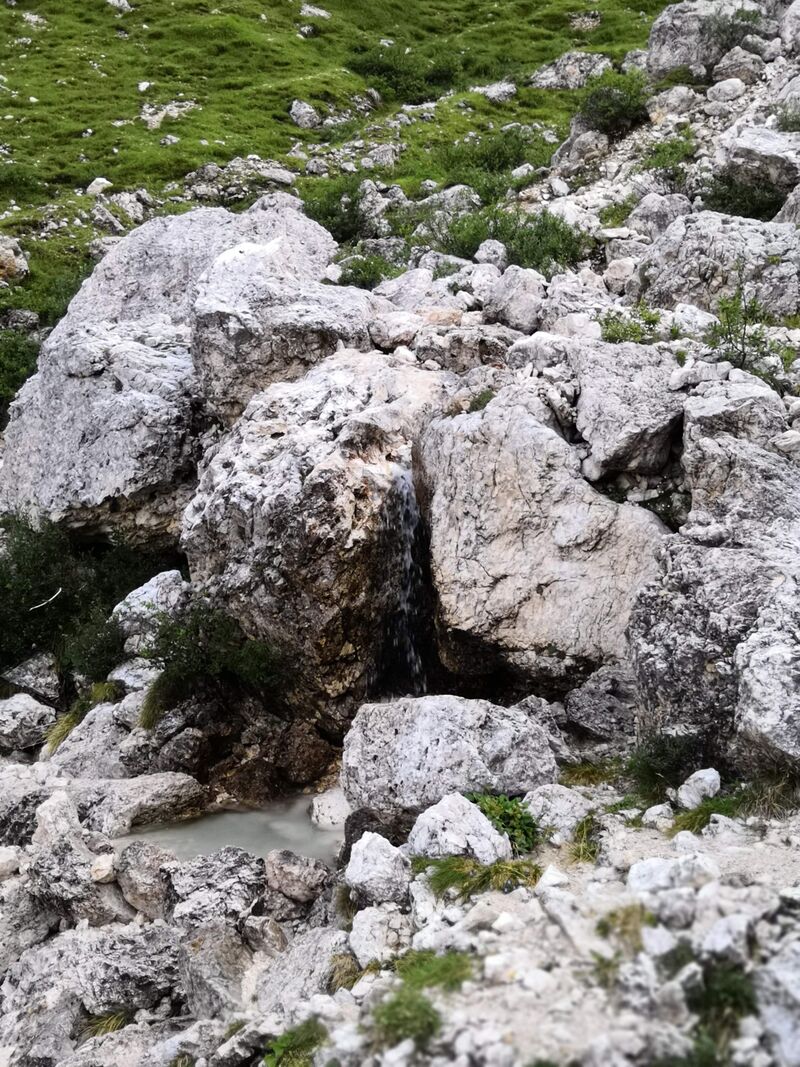
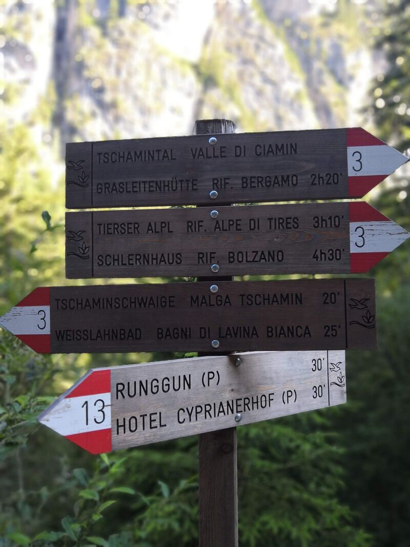
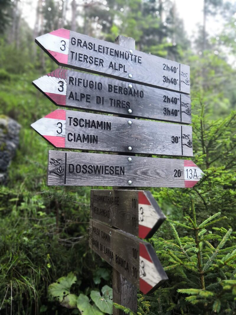
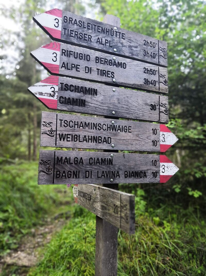
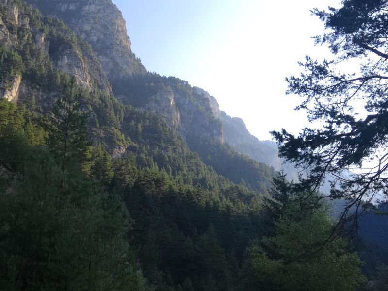
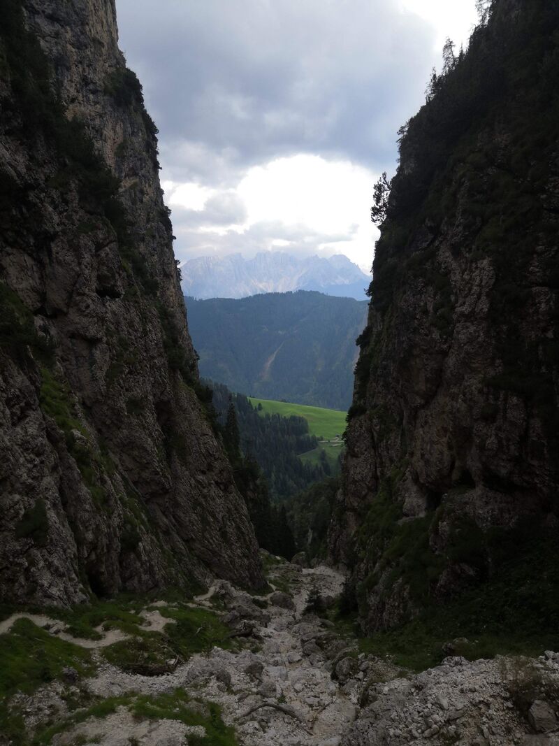
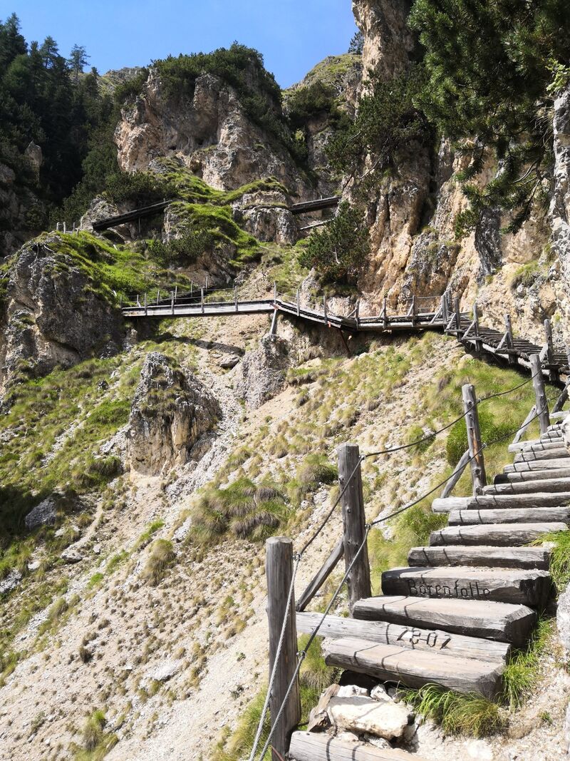
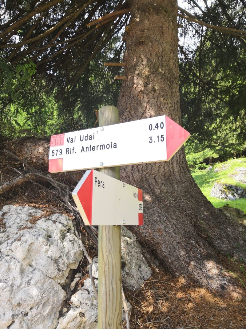
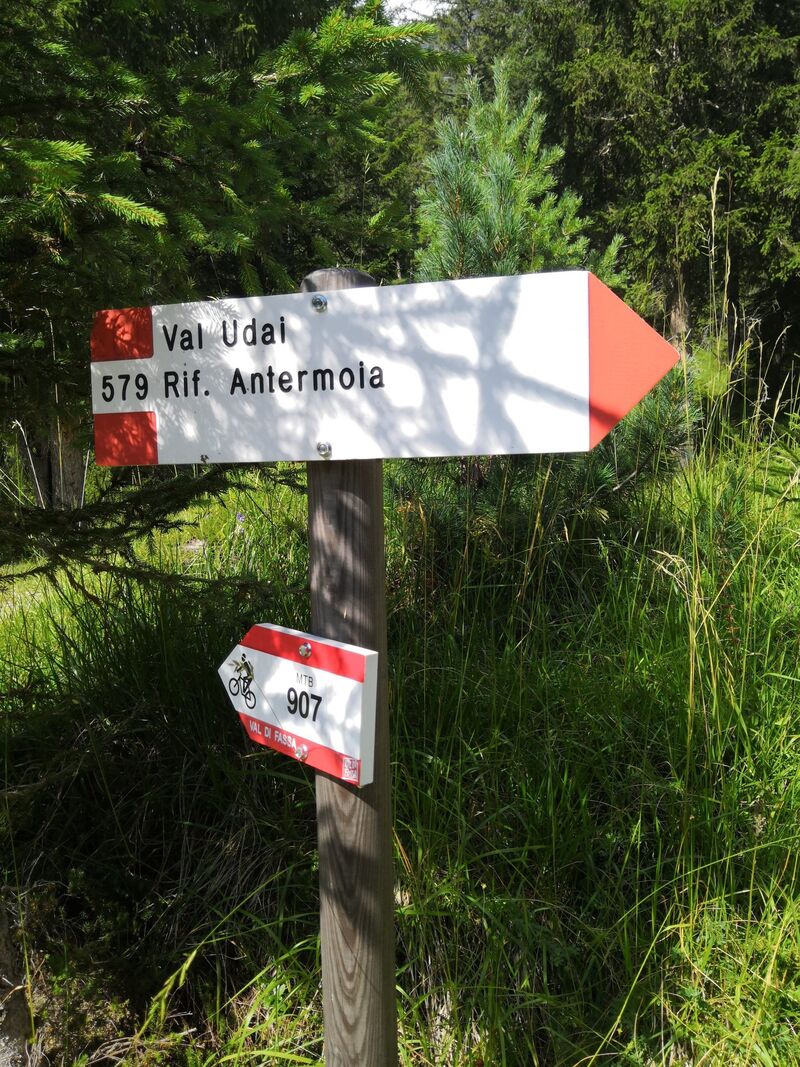
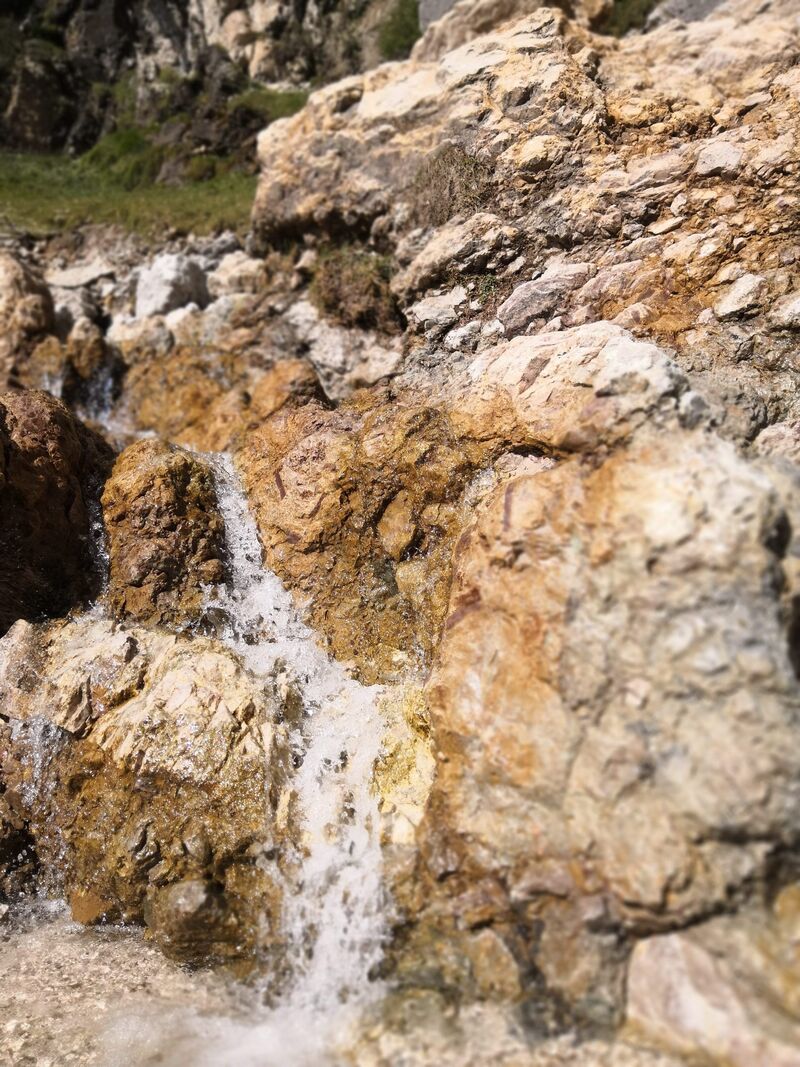
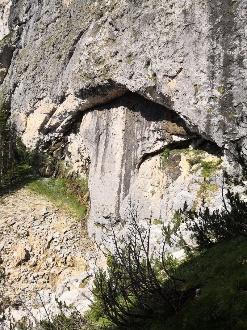
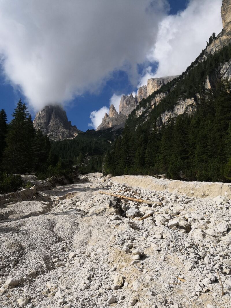
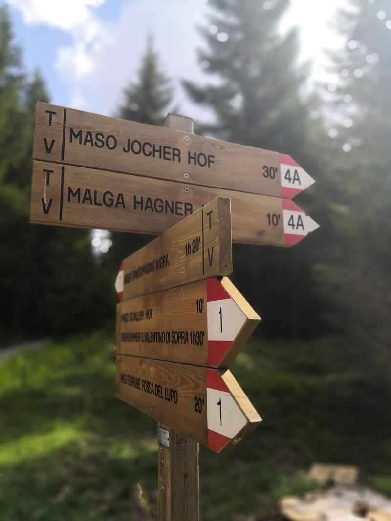
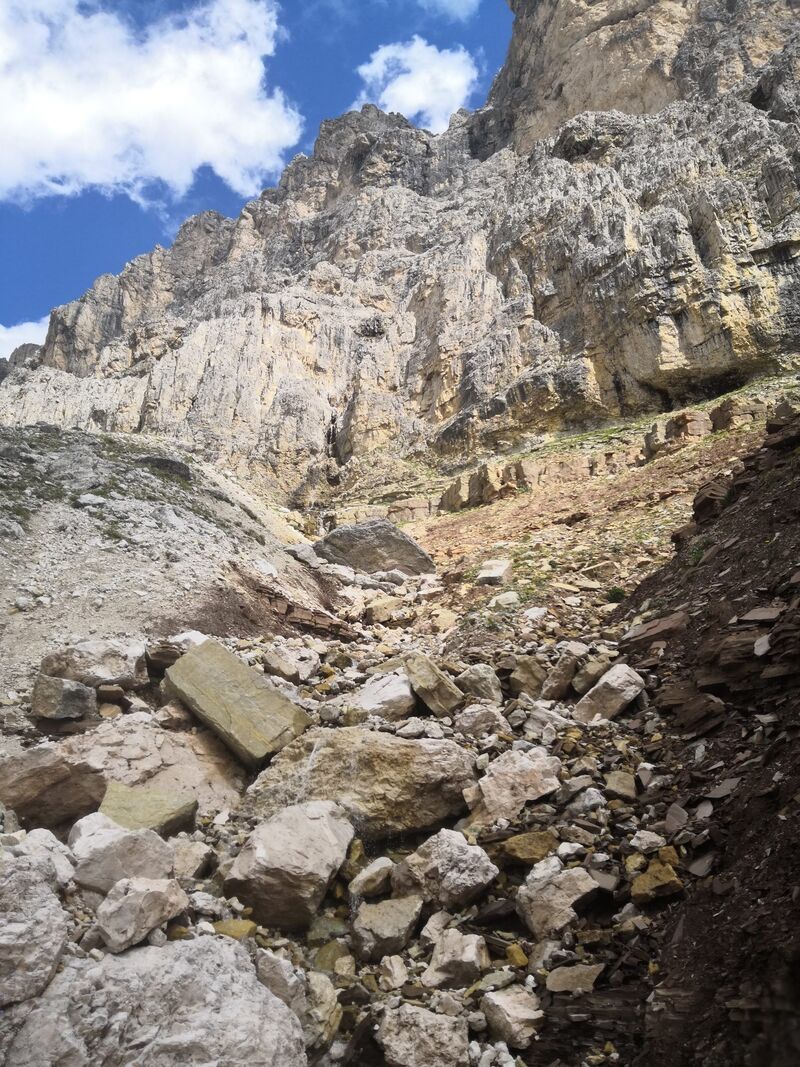
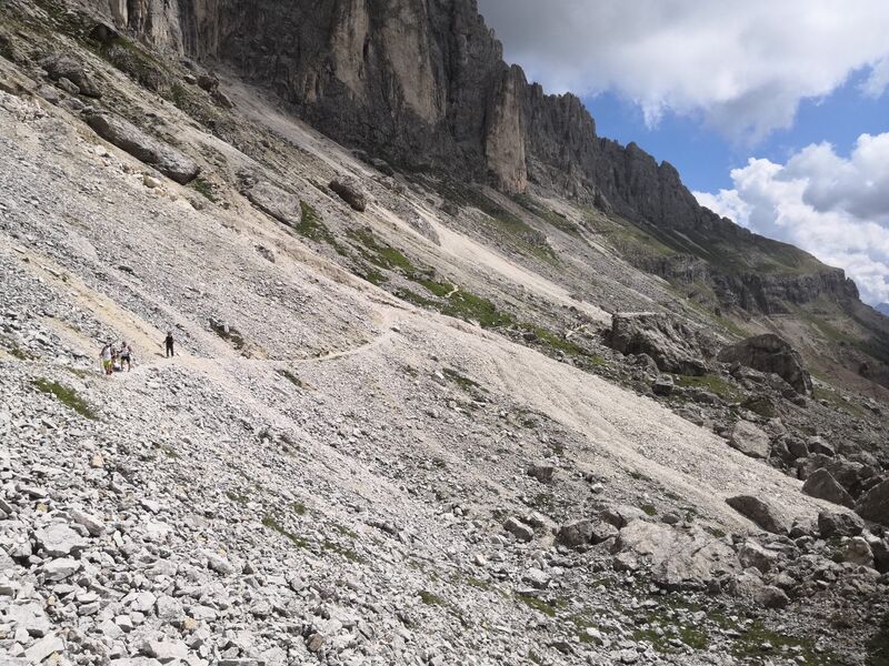
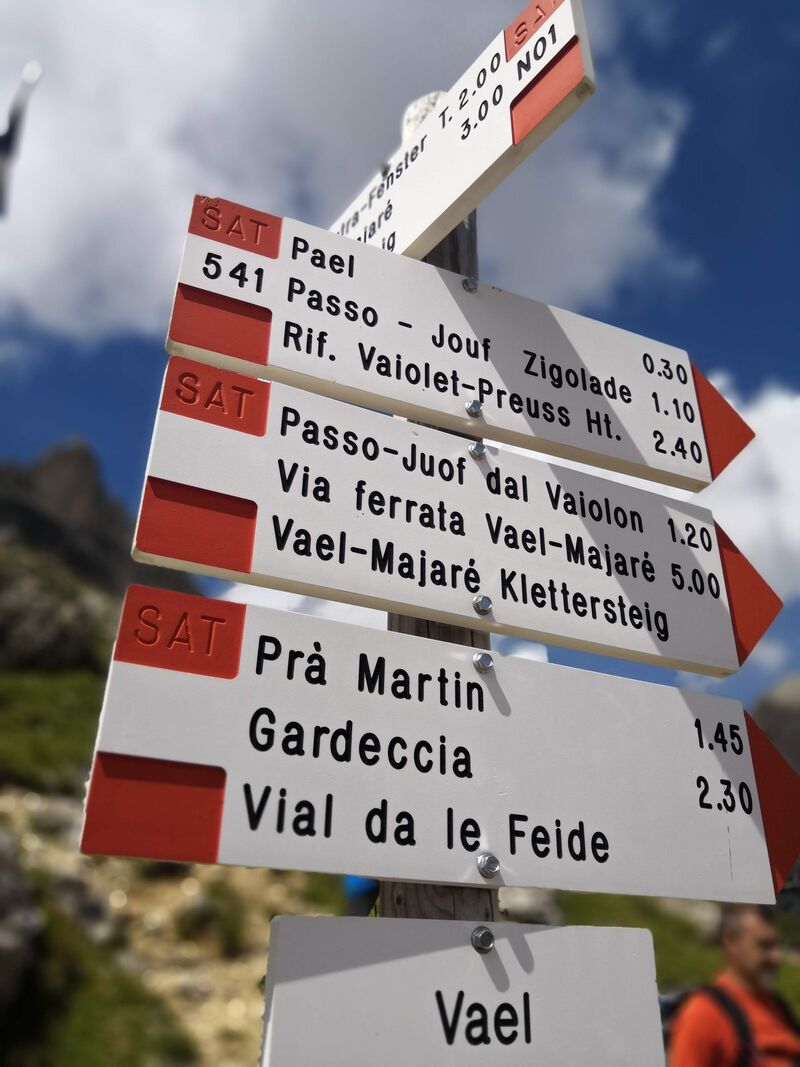
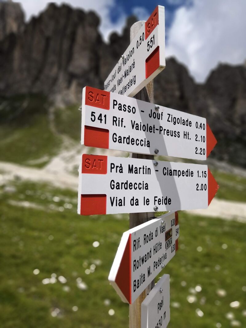
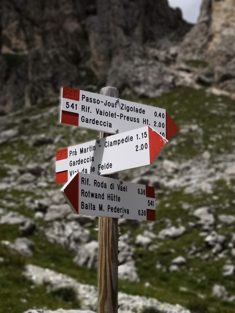
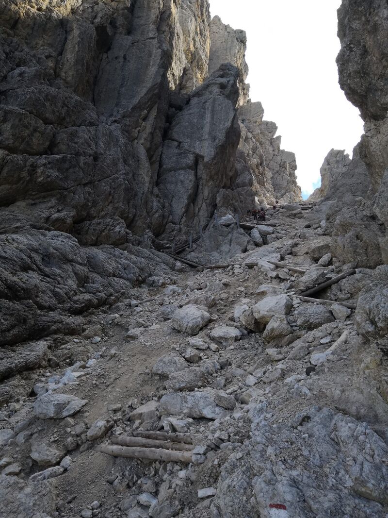
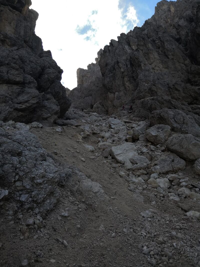
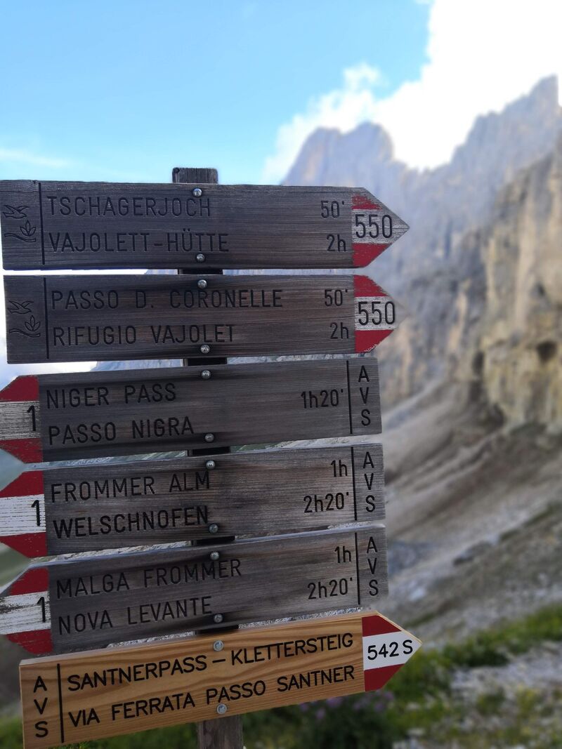
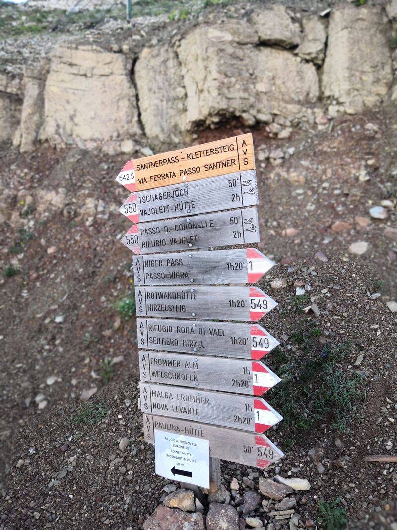
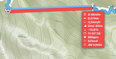
Attention il y a une erreur à cause du passage dans le canyon :
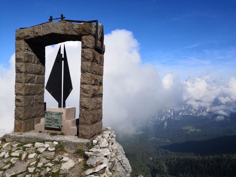
( En cours de création )
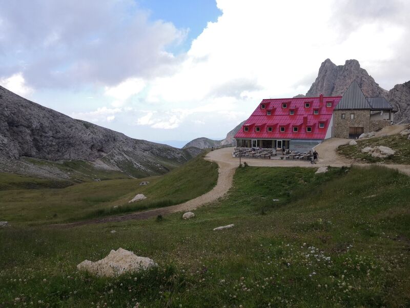
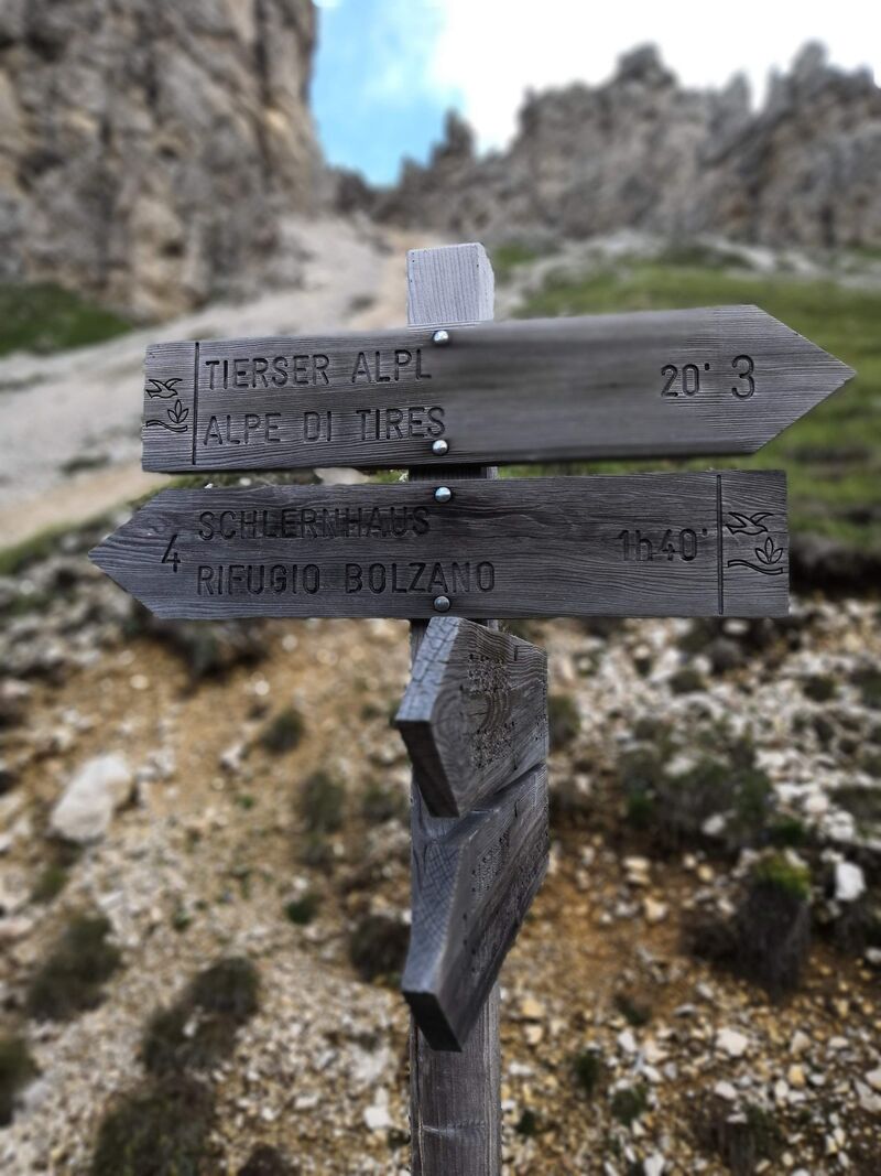
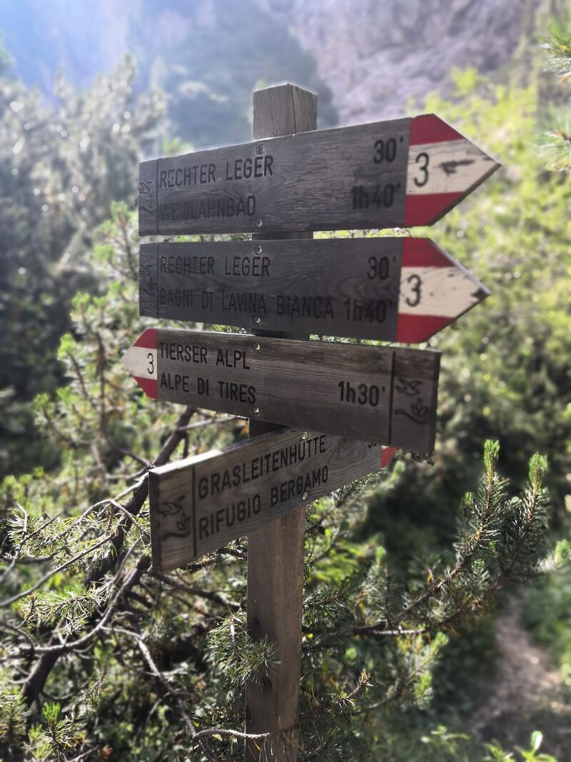
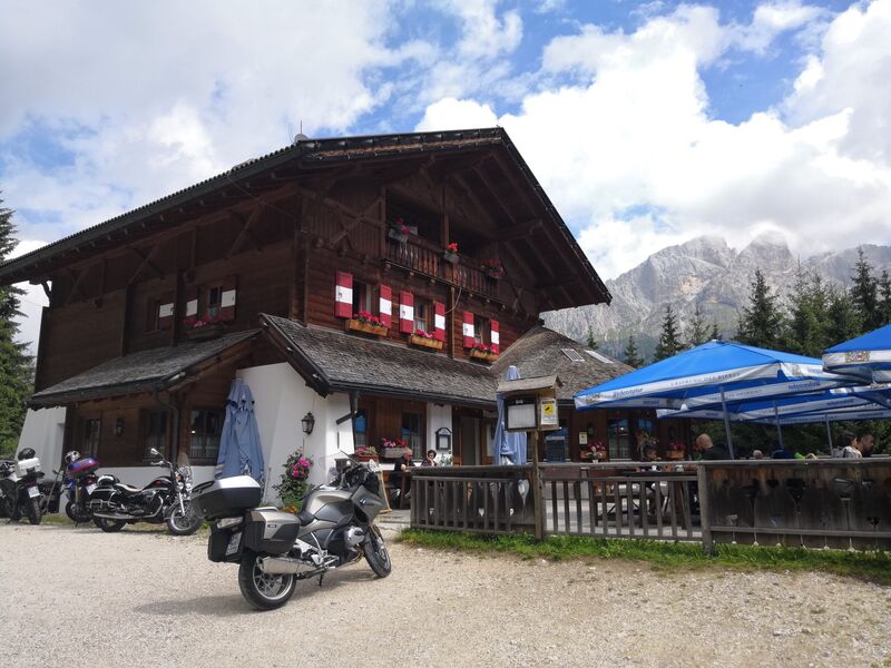
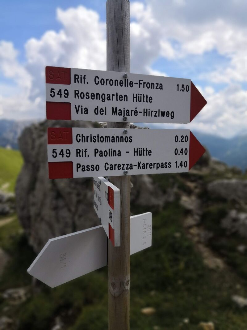
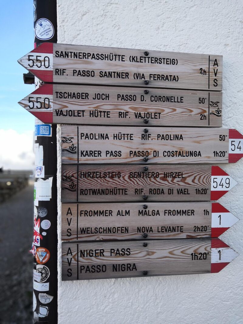
Pour plus d’information sur le refuge : https://www.tierseralpl.com/en.html .
En bref :
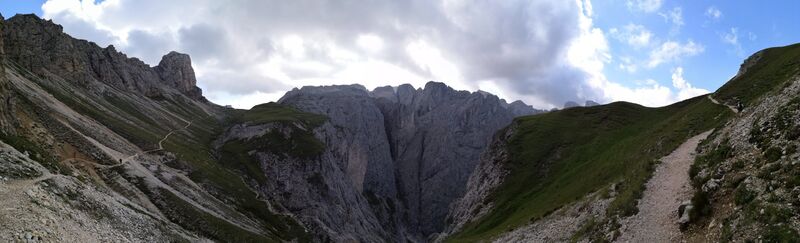
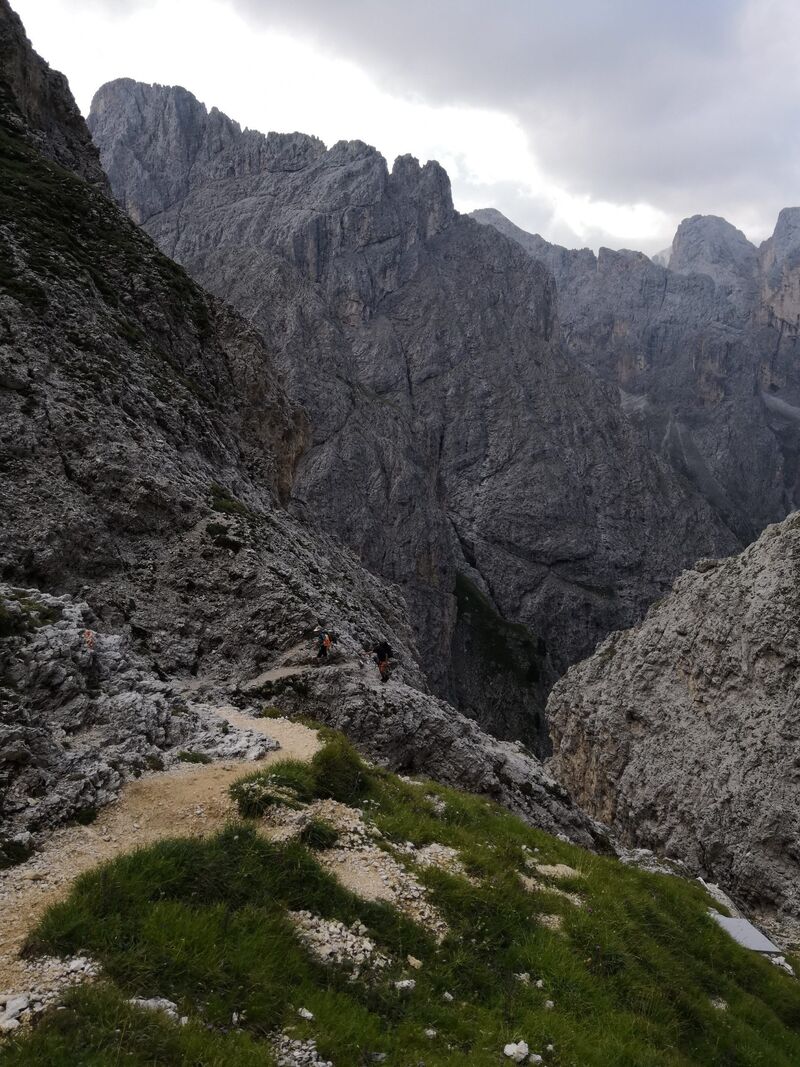
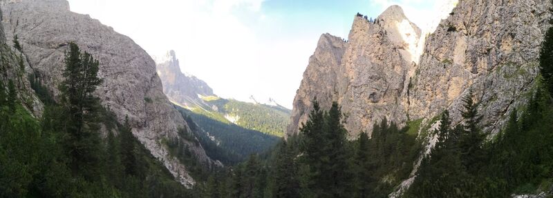
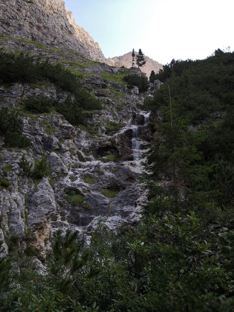
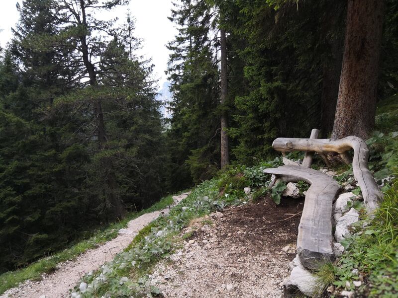
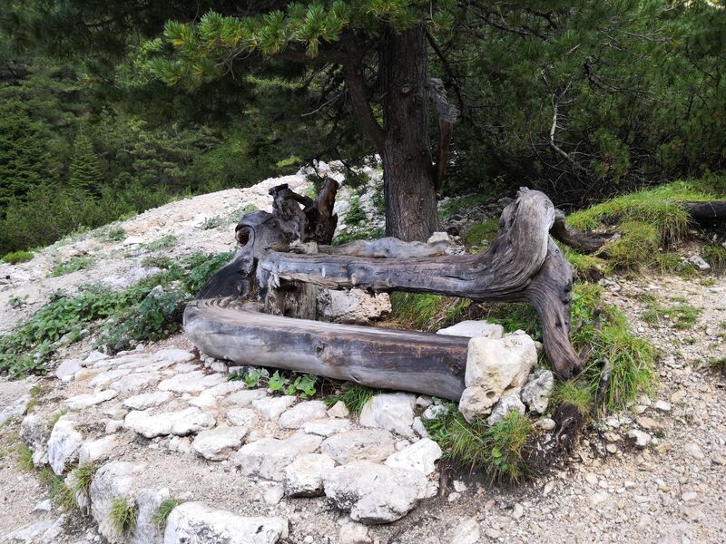
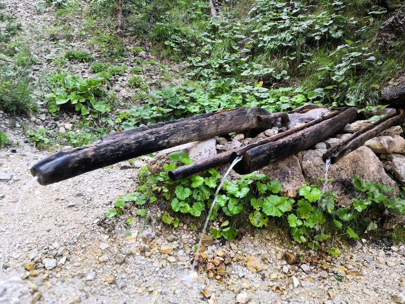
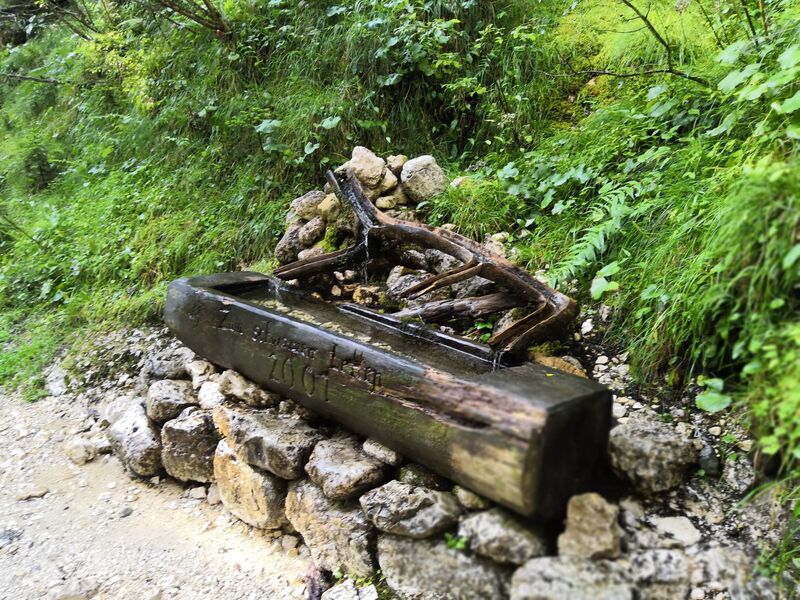
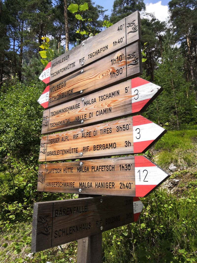
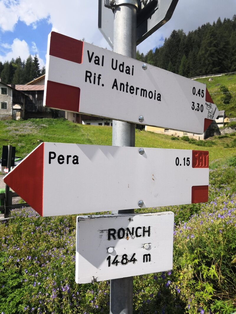
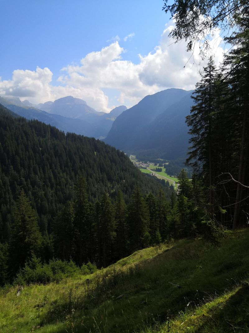
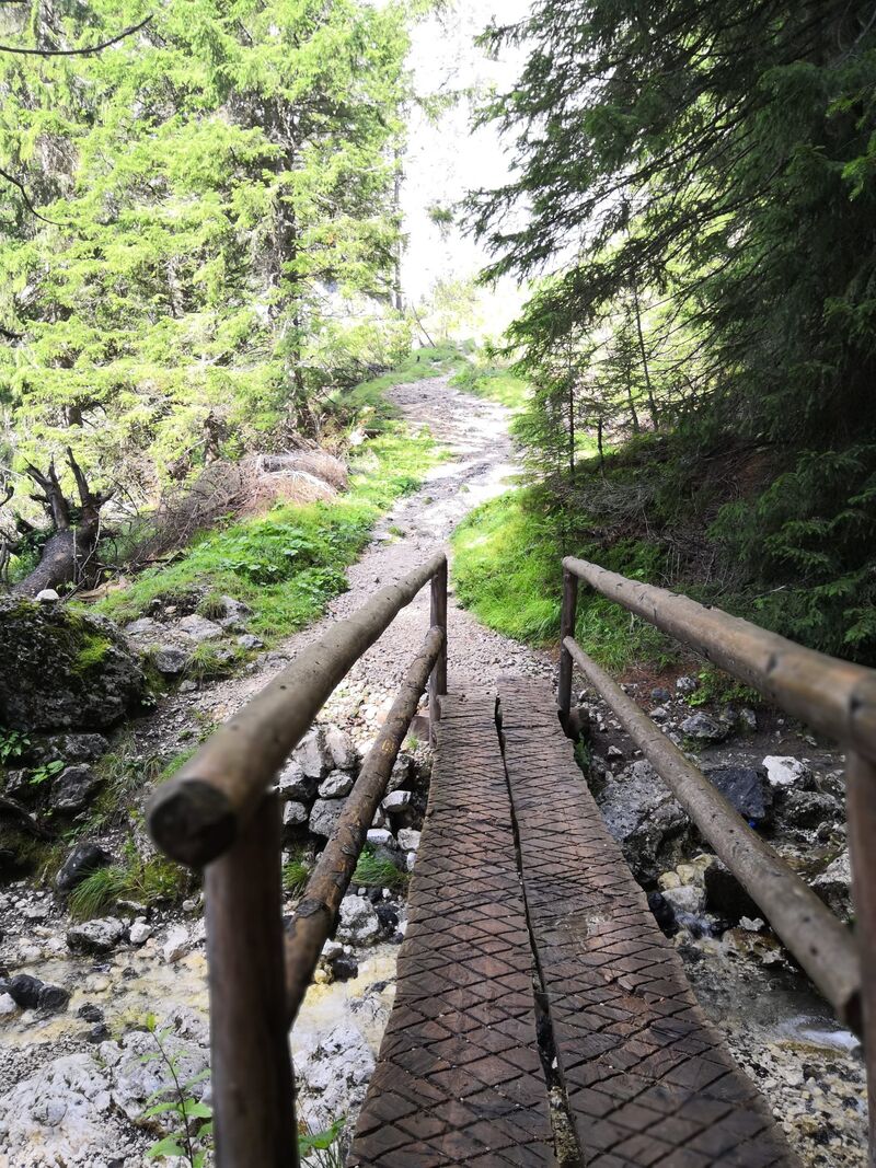
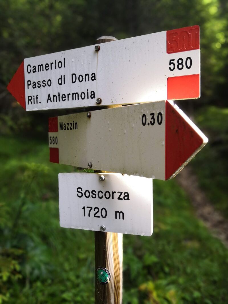
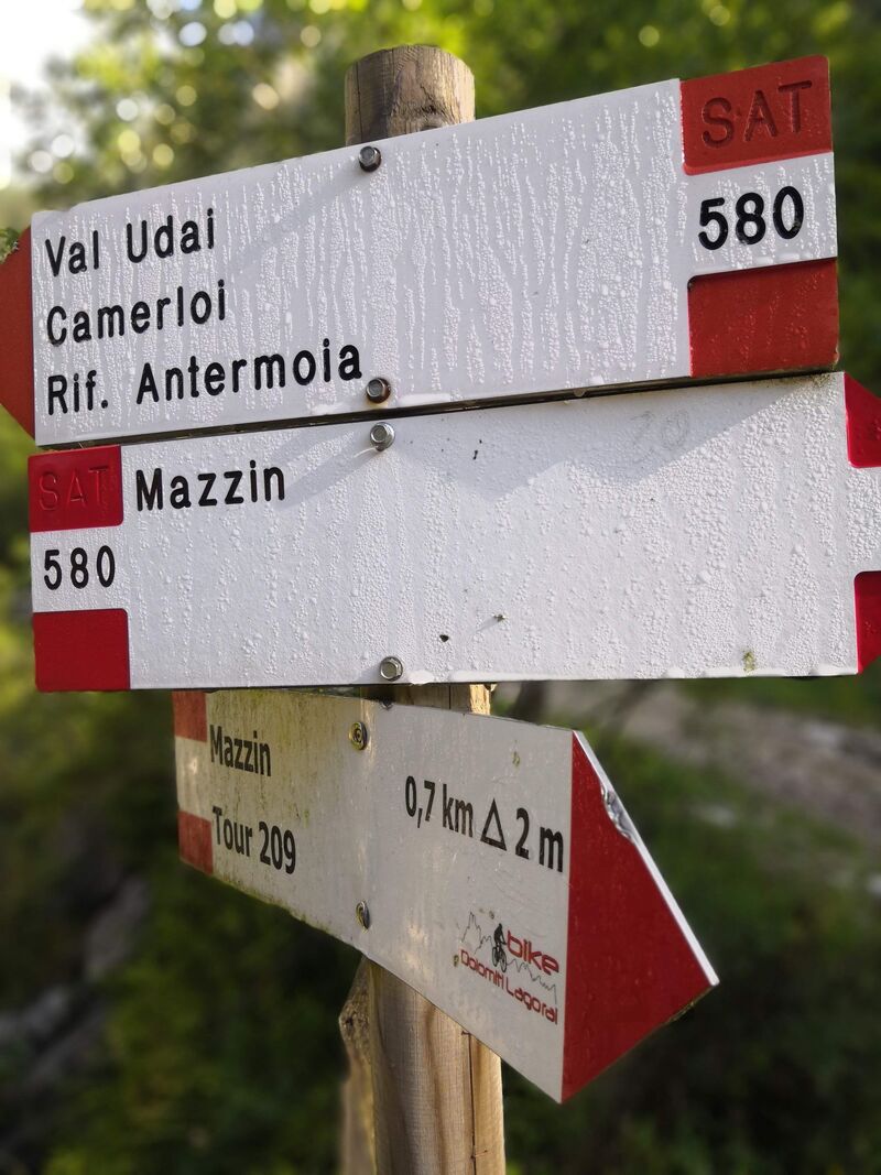
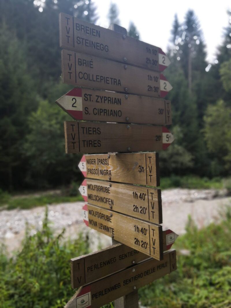
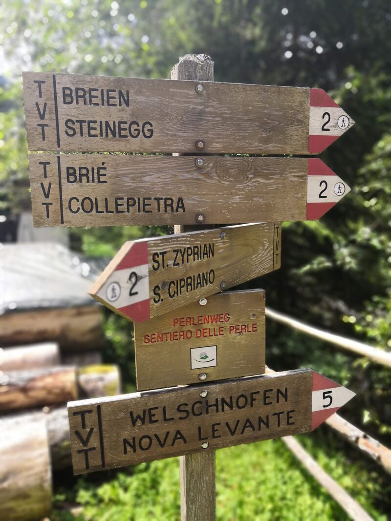
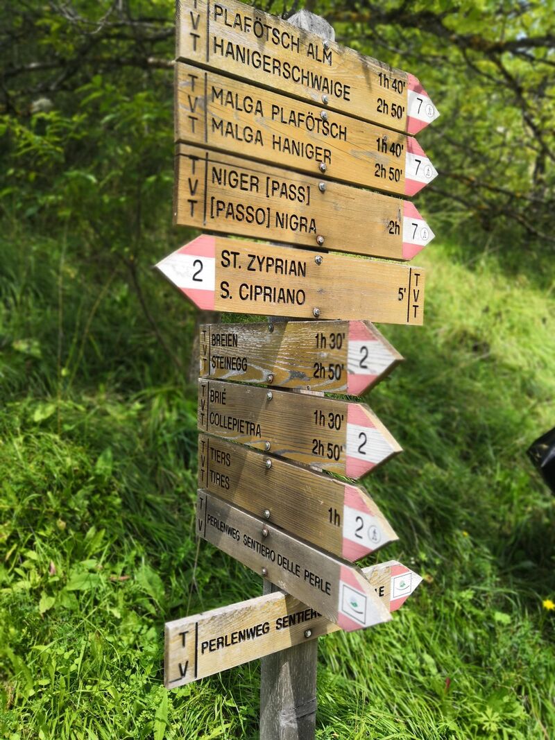
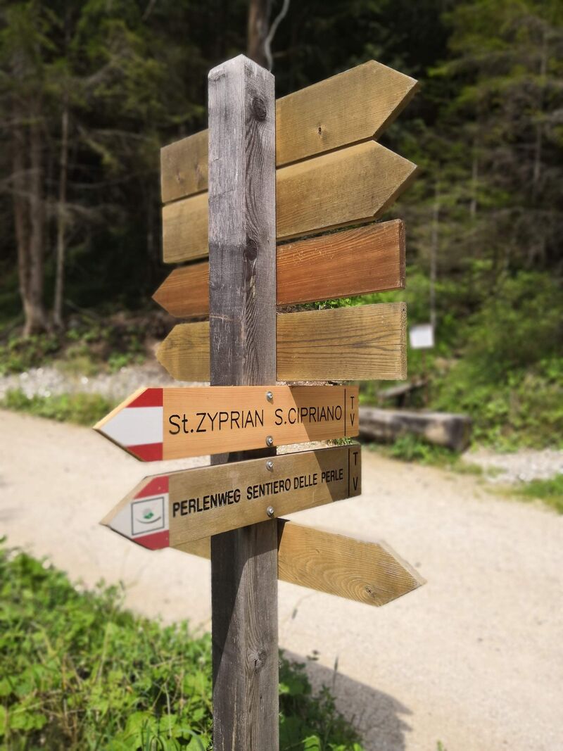
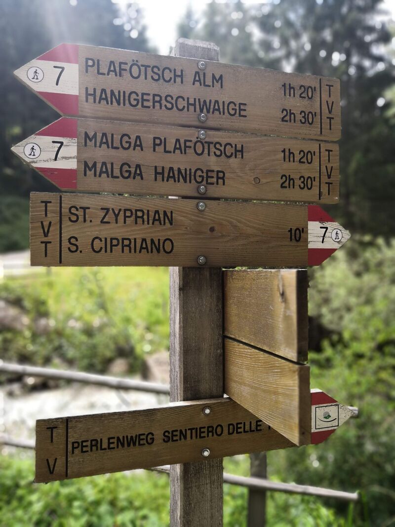
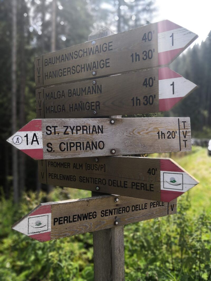
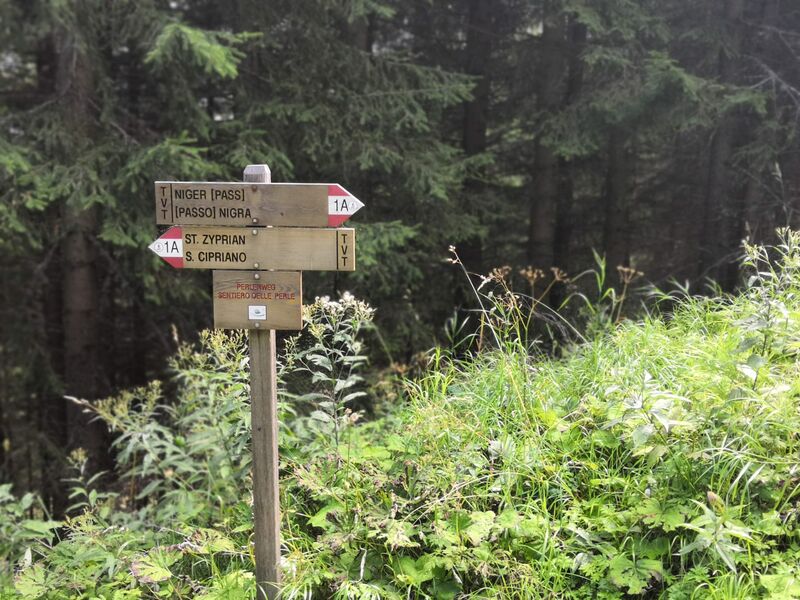
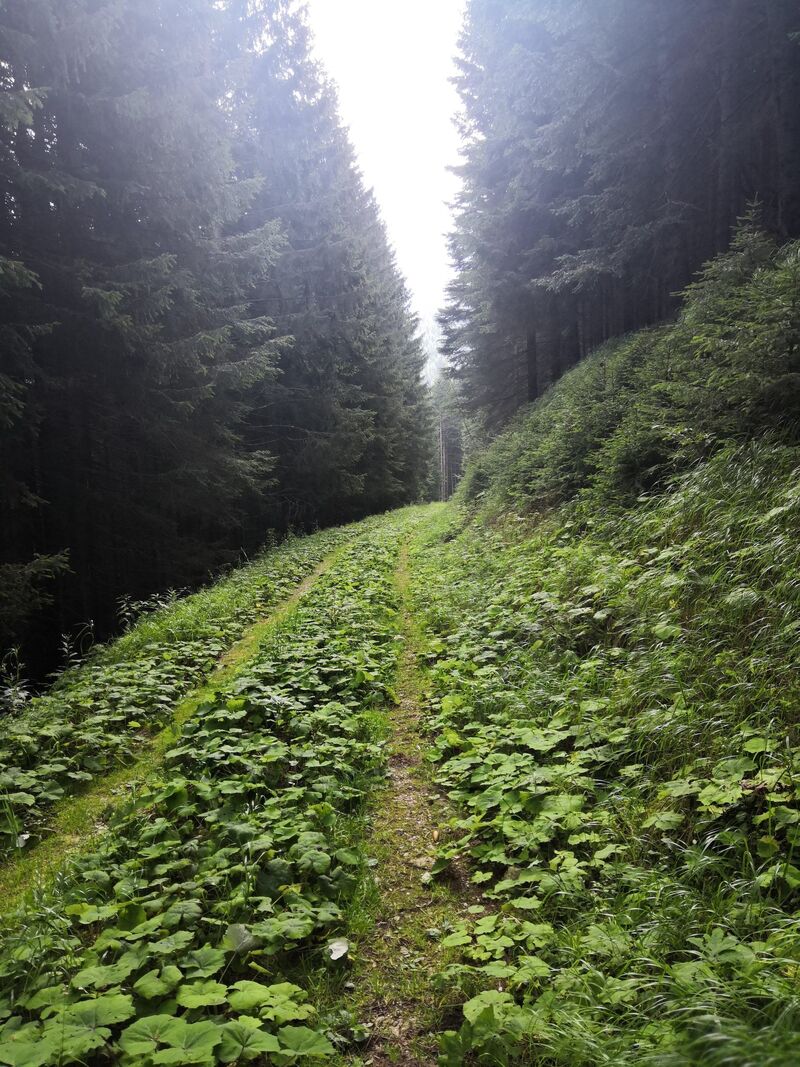
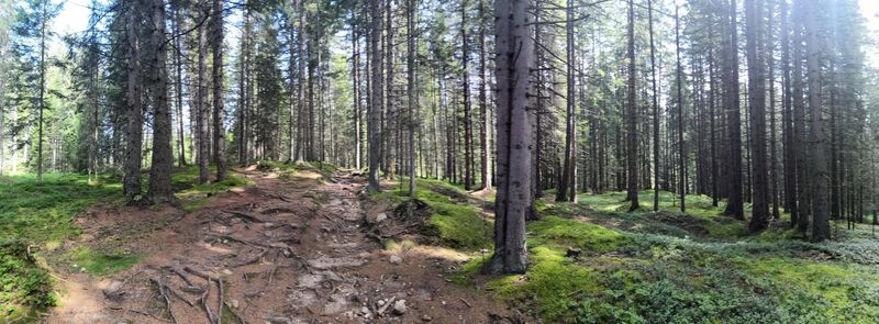
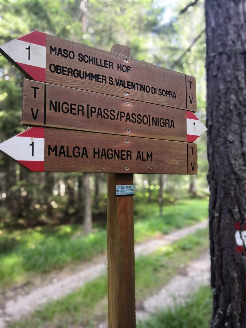
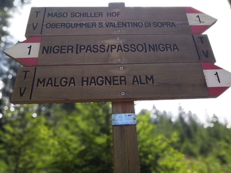
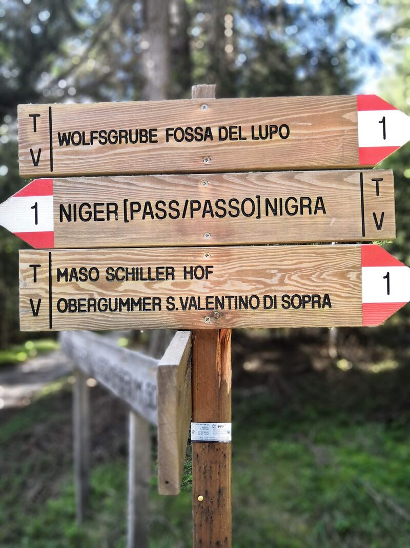
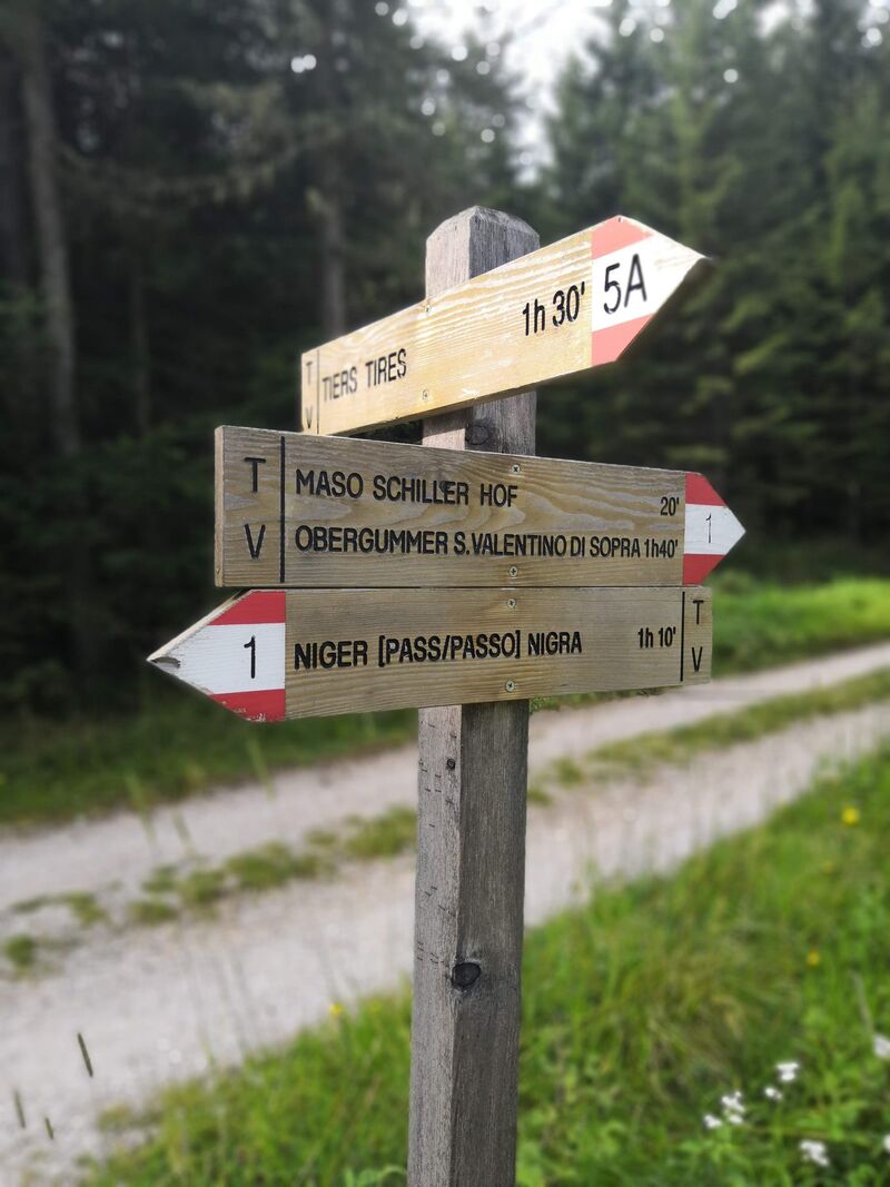
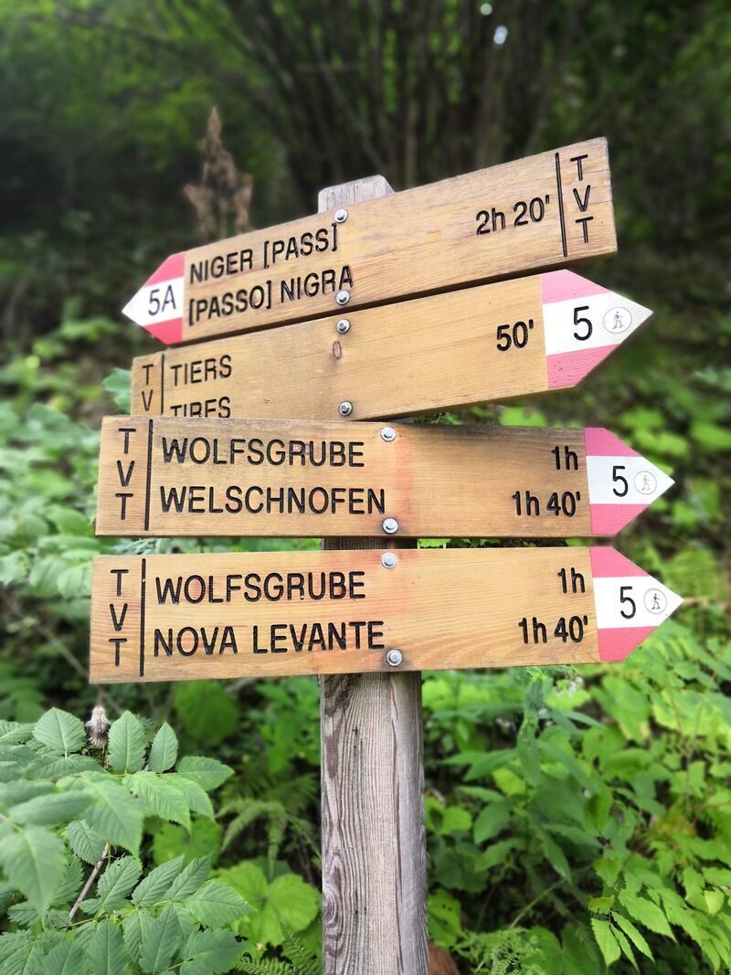
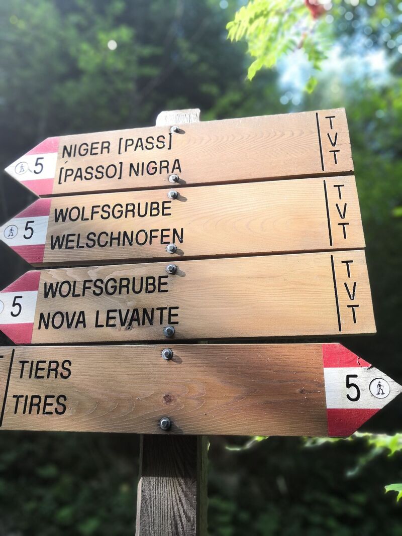
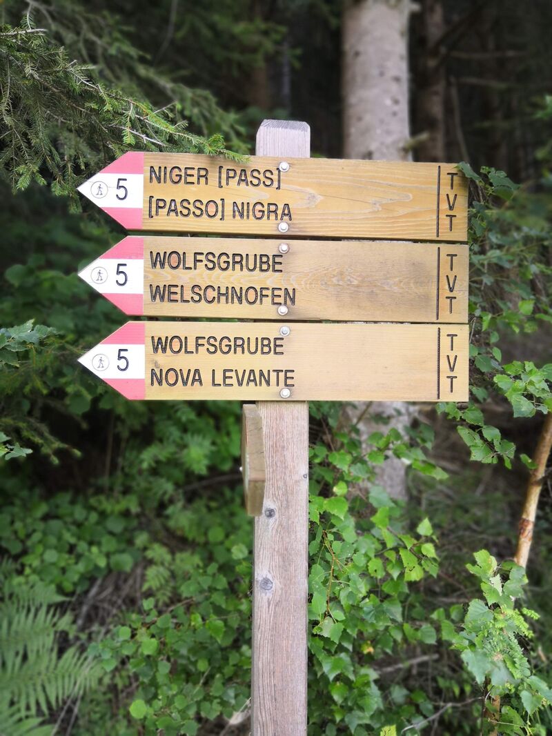
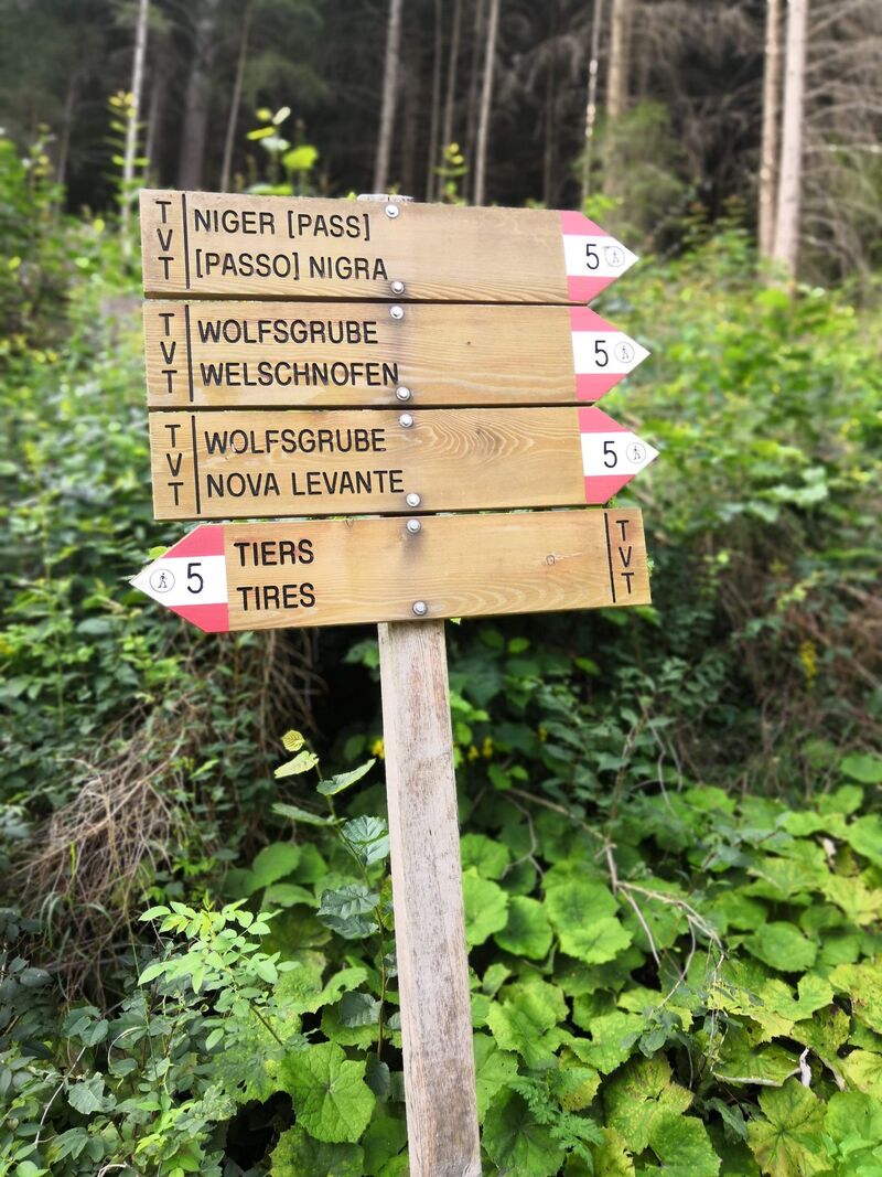
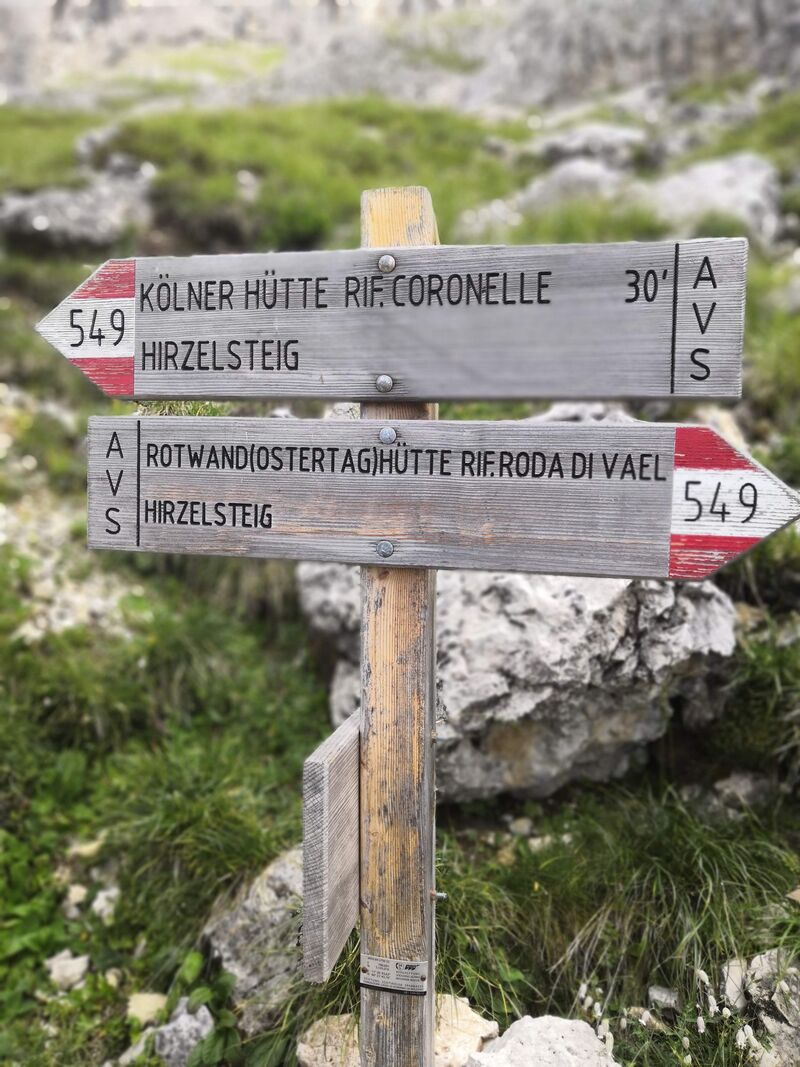
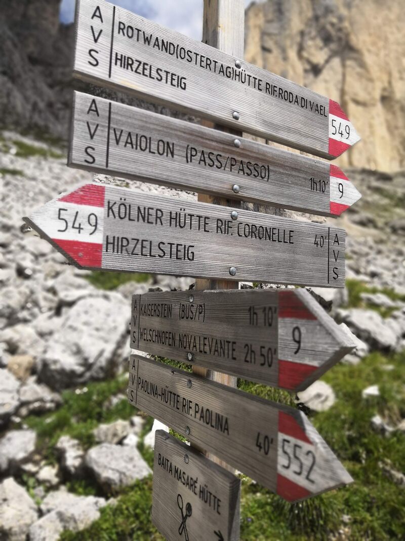
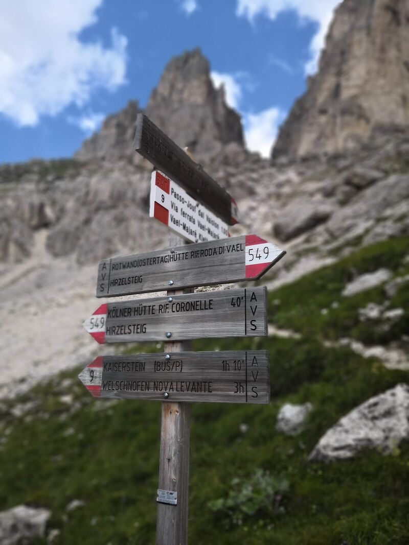
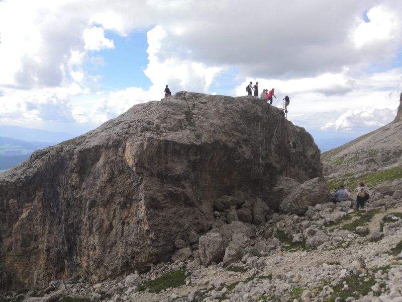
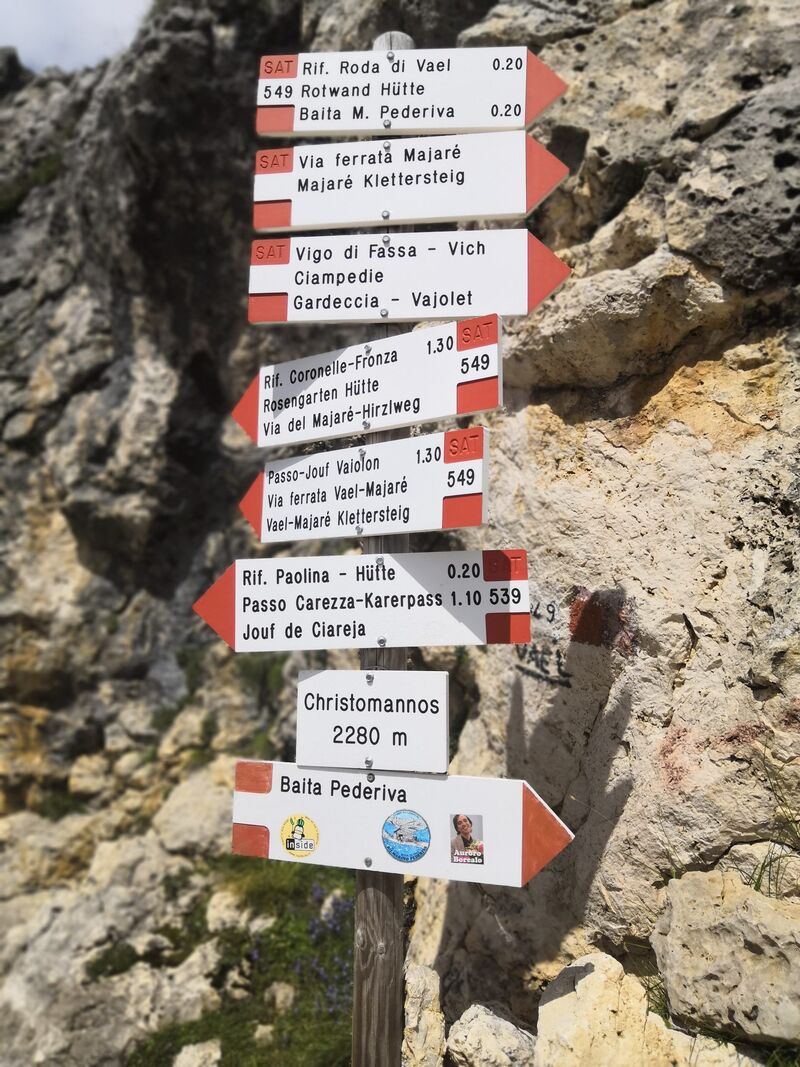
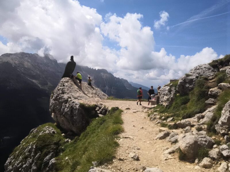
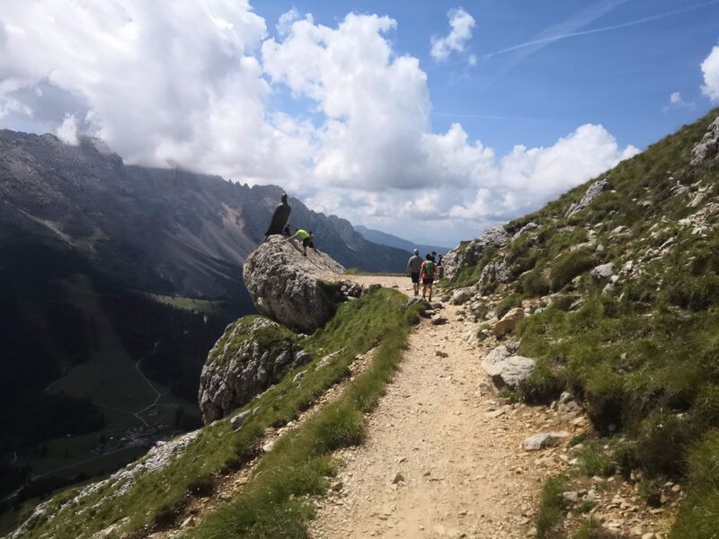
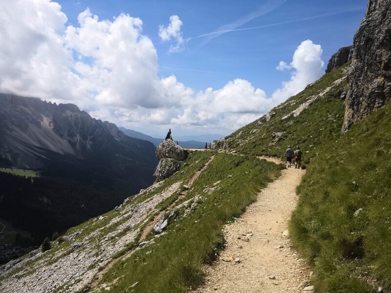
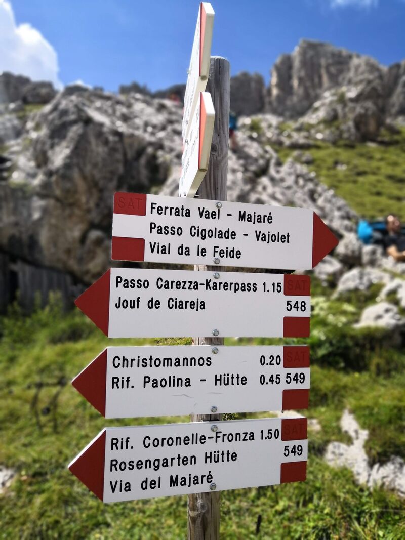
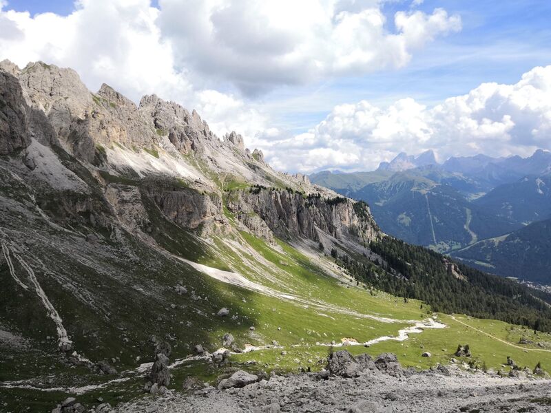
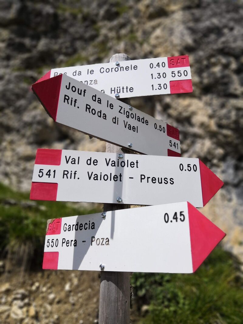
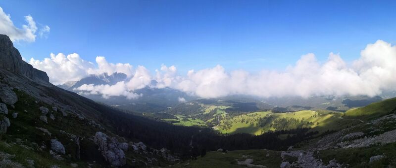
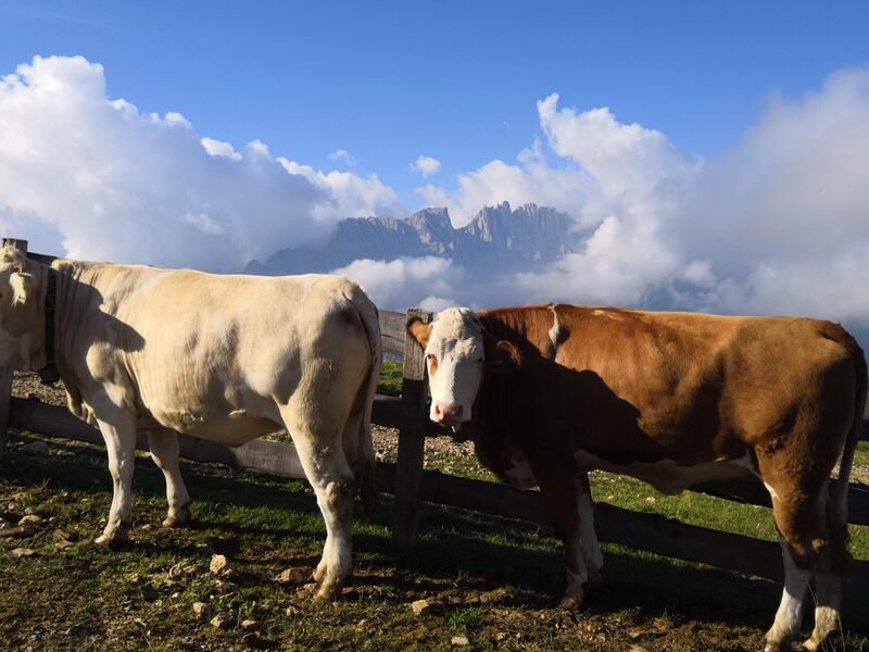
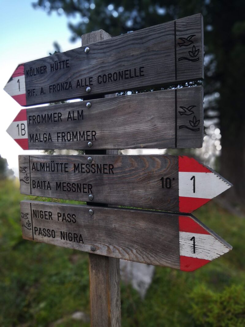
Le parcours :